


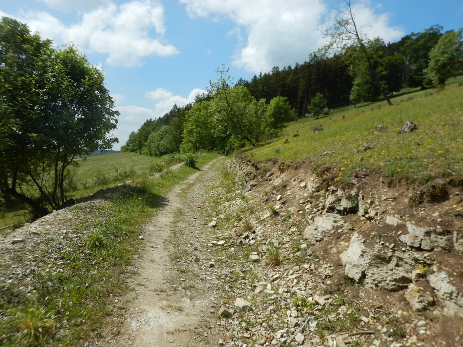
Dir Tour startet in Hauneck Oberhaun. Über Rotensee gehts auf Asphalt und befestigten Waldweg zur Wippershainer Höhe (Sportplatz). Anschließend links in den Wald Richtung Soisberg über diverse Wald-Feld und Wiesenwege.
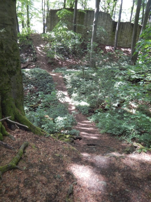
Der Weg zum Soisberg führt an den Windrädern vorbei. Einfädeln seitlich in den Aufstieg, der seinen Höhepunkt an dem kleinen Wanderweg findet, der ebenso steil, wie technisch schwierig ist, will man fahrend bis zum Turm.
Runterwärts auf der Gegenseite ein kleiner trail, der zeimlich verblockt ist und aktuell mit einem Baumstamm verlegt. Also einmal absteigen einplanen. Unten dann auf kleinen Waldtrail links weiter und über Wald und Wiesenwege Richtung Landecker. Der Aufstieg ist ungleich leichter. Vom Landecker aus rüber zum Dreyenberg. Am Fuße entlang Richtung Friedewald und von der Höhe über die Alte Friedewälder Strasse zurück nach Sorga. Auftanken am Backstop und von dort auf Asphalt zurück nach Oberhaun.
galéria trás


Mapa trasy a výškový profil
Minimum height 153 m
Maximum height 577 m
More about the tour author
|
|
winzerto |
komentáre

Anfahrt über A4 / A7 und B27
GPS trasy
Trackpoints-
GPX / Garmin Map Source (gpx) download
-
TCX / Garmin Training Center® (tcx) download
-
CRS / Garmin Training Center® (crs) download
-
Google Earth (kml) download
-
G7ToWin (g7t) download
-
TTQV (trk) download
-
Overlay (ovl) download
-
Fugawi (txt) download
-
Kompass (DAV) Track (tk) download
-
list trasy (pdf) download
-
Original file of the author (gpx) download
More about the tour author
|
|
winzerto |
Add to my favorites
Remove from my favorites
Edit tags
Open track
My score
Rate