Login

Zabudli ste prihlasovacia meno

Cookies have to be accepted!
Your browser's cookie functionality is disabled. Please enable this functionality.

Not a member yet?

Register now
Login

Available for registred users only

Log in to use this feature.

Zabudli ste prihlasovacia meno

Cookies have to be accepted!
Your browser's cookie functionality is disabled. Please enable this functionality.

Not a member yet?

Register now
Filter
Kategórie
Advanced filters
  • Dĺžka (km)
  • výškomer
Uložiť filter Reset filter

TrackRank

QRCode

Technical data

Dĺžka109,1 km výškomer2021 m Way down2142 m Doba00:00 h:m dátum04.06.2005
ohodnotenia Author Kraj pôžitok z túry kondícia technika

štatistika

1300 náhľady ohodnotenia 355 Stiahnutia priemer
Rate
  • list trasy
  • príjazd
  • Stiahnutia
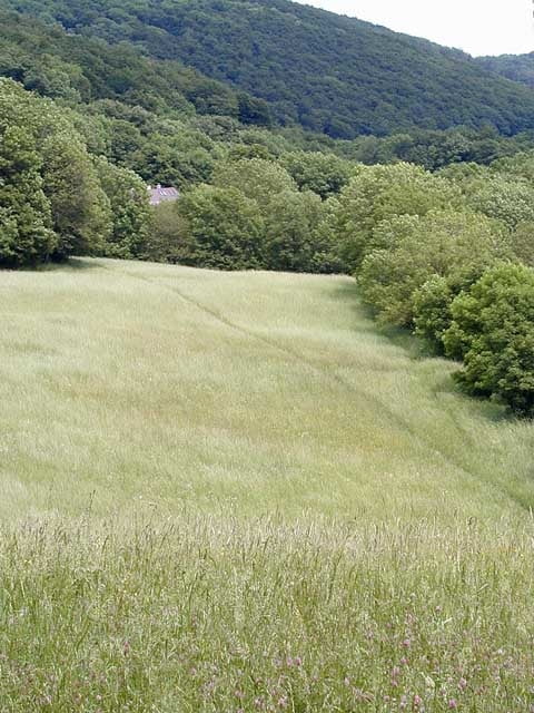
I´ve been for two weeks in the wienerwald for bike rides, and decided to make this track for who wants to get used to the area.

galéria trás

Mapa trasy a výškový profil

  • Open Street Map
  • Google
Minimum height 200 m Maximum height 521 m Detailný pohľad

More about the tour author

icon8
Member since 2005

Send private message

komentáre

the trail starts at the begining of the newaldeg park, and ends in the same place. because of the dense tree´s area for a few meters i was without signal.

GPS trasy

Trackpoints
  • GPX / Garmin Map Source (gpx) download
  • TCX / Garmin Training Center® (tcx) download
  • CRS / Garmin Training Center® (crs) download
  • Google Earth (kml) download
  • G7ToWin (g7t) download
  • TTQV (trk) download
  • Overlay (ovl) download
  • Fugawi (txt) download
  • Kompass (DAV) Track (tk) download
  • list trasy (pdf) download
  • Original file of the author (g7t) download

More about the tour author

icon8
Member since 2005

Send private message
Share track
Add to my favorites
Remove from my favorites
Edit tags
My score
Rate
trasa: newaldeg tour
Druh: horský bicykel
Dĺžka: 109,1 km
Evaluated on:
Doba:
Day(s)
Hour(s)
Minute(s)
ohodnotenie: Kraj pôžitok z túry kondícia technika