Login

Zabudli ste prihlasovacia meno

Cookies have to be accepted!
Your browser's cookie functionality is disabled. Please enable this functionality.

Not a member yet?

Register now
Login

Available for registred users only

Log in to use this feature.

Zabudli ste prihlasovacia meno

Cookies have to be accepted!
Your browser's cookie functionality is disabled. Please enable this functionality.

Not a member yet?

Register now
Filter
Kategórie
Advanced filters
  • Dĺžka (km)
  • výškomer
Uložiť filter Reset filter

TrackRank

QRCode

Technical data

Dĺžka38,0 km výškomer1048 m Way down1037 m Doba03:02 h:m dátum30.05.2016
ohodnotenia Author Kraj pôžitok z túry kondícia technika

štatistika

273 náhľady ohodnotenia 26 Stiahnutia priemer
Rate
  • list trasy
  • príjazd
  • Stiahnutia

Im Prinzip die gleiche Runde wie schon 2015. Drei kleine Änderungen bei der Rückfahrt, die aber nicht zwingend notwendig sind.

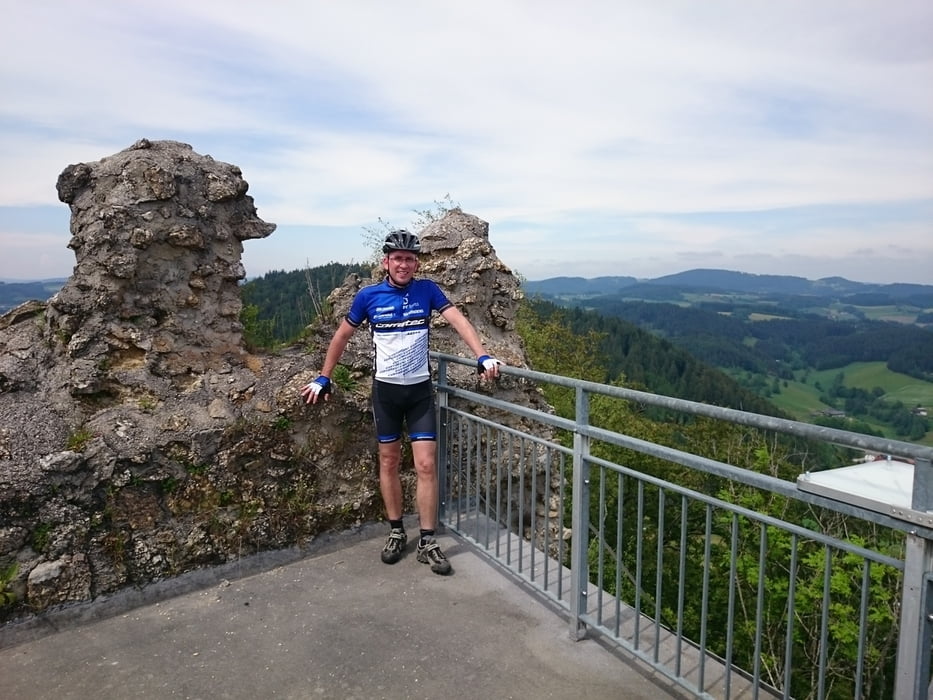
Die Auffahrt zur Burg ist 1,6 km lang bei einer Durchschnittssteigung von 14%!
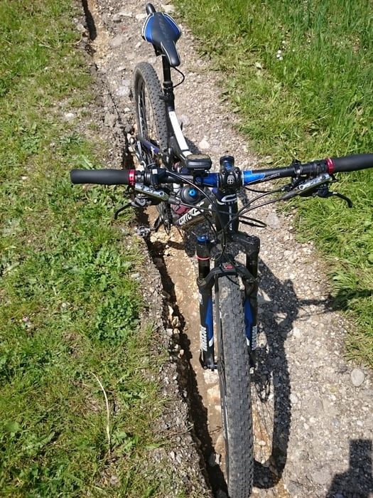
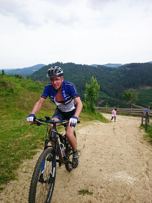
 

galéria trás

Mapa trasy a výškový profil

  • Open Street Map
  • Google
Minimum height 529 m Maximum height 823 m Detailný pohľad

More about the tour author

rjkas
Member since 2003

Send private message

komentáre

GPS trasy

Trackpoints
  • GPX / Garmin Map Source (gpx) download
  • TCX / Garmin Training Center® (tcx) download
  • CRS / Garmin Training Center® (crs) download
  • Google Earth (kml) download
  • G7ToWin (g7t) download
  • TTQV (trk) download
  • Overlay (ovl) download
  • Fugawi (txt) download
  • Kompass (DAV) Track (tk) download
  • list trasy (pdf) download
  • Original file of the author (tcx) download

More about the tour author

rjkas
Member since 2003

Send private message
Share track
Add to my favorites
Remove from my favorites
Edit tags
My score
Rate
trasa: Ruine Ruttenstein 2016
Druh: horský bicykel
Dĺžka: 38,0 km
Evaluated on:
Doba:
Day(s)
Hour(s)
Minute(s)
ohodnotenie: Kraj pôžitok z túry kondícia technika