


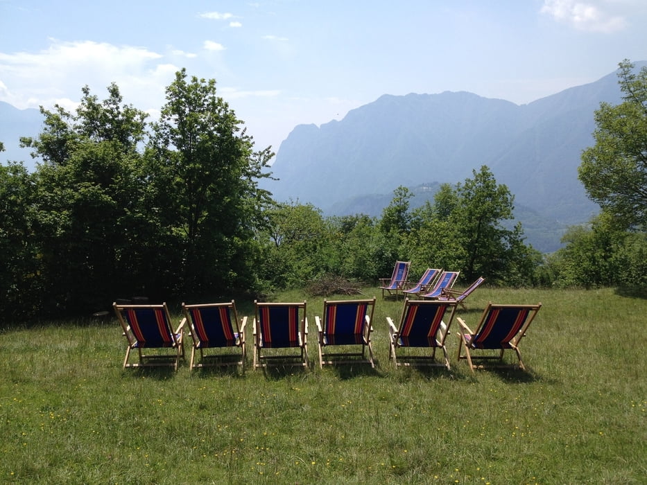
Leichte Wanderung rund um das Rifugio San Pietro. Vom Parkplatz geht es zuerst die Teerstraße bergauf, dann steigt man auf einem sehr steilen schmalen Pfad zum Rifugio San Pietro (974 m) auf, das man schon von unten sieht. Alternativ kann man auch die Straße hinaufwandern oder man fährt mit dem Auto gleich weiter bis zum Parkplatz des Rifugios. Vom Rifugio wandert man Richtung Lomasone/Brenta. Nachdem man Vespana (810 m) erreicht hat wandert man weiter bis Treni (835 m) und von dort zurück zu Parkplatz.
galéria trás


Mapa trasy a výškový profil
Minimum height 785 m
Maximum height 986 m
More about the tour author

|
thmayr |
komentáre

Von Riva del Garda nach Tenno, dann weiter nach Ville del Monte und dort dem Wegweiser zum Rifugio San Pietro folgen
GPS trasy
Trackpoints-
GPX / Garmin Map Source (gpx) download
-
TCX / Garmin Training Center® (tcx) download
-
CRS / Garmin Training Center® (crs) download
-
Google Earth (kml) download
-
G7ToWin (g7t) download
-
TTQV (trk) download
-
Overlay (ovl) download
-
Fugawi (txt) download
-
Kompass (DAV) Track (tk) download
-
list trasy (pdf) download
-
Original file of the author (gpx) download
More about the tour author
|
|
thmayr |
Add to my favorites
Remove from my favorites
Edit tags
Open track
My score
Rate