Login

Zabudli ste prihlasovacia meno

Cookies have to be accepted!
Your browser's cookie functionality is disabled. Please enable this functionality.

Not a member yet?

Register now
Login

Available for registred users only

Log in to use this feature.

Zabudli ste prihlasovacia meno

Cookies have to be accepted!
Your browser's cookie functionality is disabled. Please enable this functionality.

Not a member yet?

Register now
Filter
Kategórie
Advanced filters
  • Dĺžka (km)
  • výškomer
Uložiť filter Reset filter

TrackRank

QRCode

Technical data

Dĺžka4,5 km výškomer228 m Way down163 m Doba03:00 h:m dátum05.06.2016
ohodnotenia Author Kraj pôžitok z túry kondícia technika

štatistika

125 náhľady ohodnotenia 17 Stiahnutia priemer
Rate
  • list trasy
  • príjazd
  • Stiahnutia

Easy trail, most on dust roads, some slippy parts.


galéria trás

Mapa trasy a výškový profil

  • Open Street Map
  • Google
Minimum height 586 m Maximum height 699 m Detailný pohľad

More about the tour author

Mapdekode
Member since 2008

Send private message

komentáre

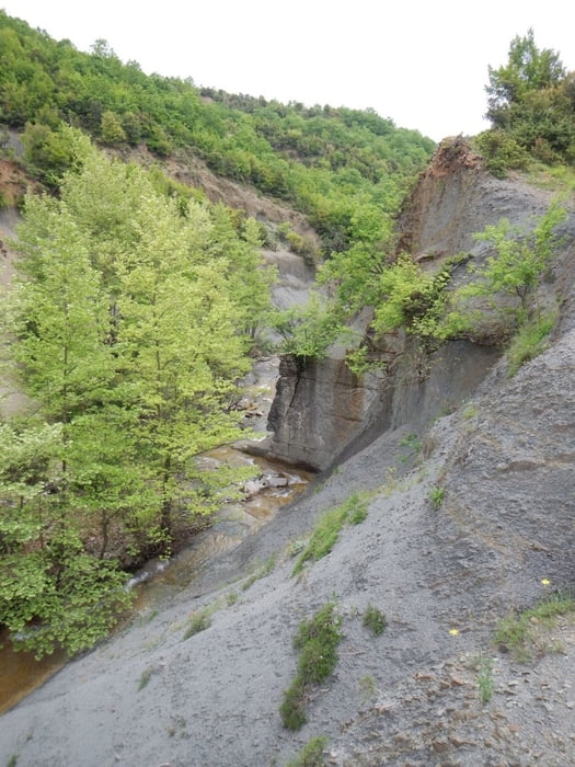
From Ioannina on the old national road number 6.


GPS trasy

Trackpoints
  • GPX / Garmin Map Source (gpx) download
  • TCX / Garmin Training Center® (tcx) download
  • CRS / Garmin Training Center® (crs) download
  • Google Earth (kml) download
  • G7ToWin (g7t) download
  • TTQV (trk) download
  • Overlay (ovl) download
  • Fugawi (txt) download
  • Kompass (DAV) Track (tk) download
  • list trasy (pdf) download
  • Original file of the author (gpx) download

More about the tour author

Mapdekode
Member since 2008

Send private message
Share track
Add to my favorites
Remove from my favorites
Edit tags
My score
Rate
trasa: Greece, Zagori: trail to bridge Gyftosia & Kosiastra
Druh: trasa
Dĺžka: 4,5 km
Evaluated on:
Doba:
Day(s)
Hour(s)
Minute(s)
ohodnotenie: Kraj pôžitok z túry kondícia technika