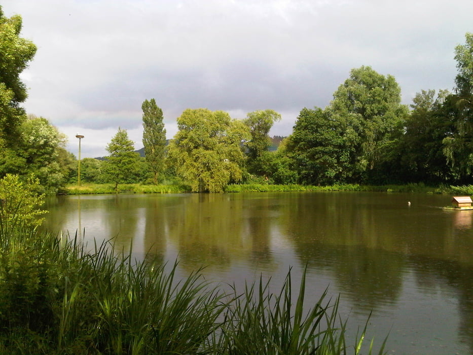
Von Homburg Schwarzenbach fuhr ich durch das Blies- und Taubental nach Kirkel Neuhäusel.
Am Abend radelte ich zunächst auf dem fast gleichen Weg durch Kirkel zurück und auf den Taubenpass hoch. Dort bog ich links ab und fuhr auf dem Forstweg oberhalb des Taubentales um dann doch nicht in das Tal hineinzufahren, sondern nach links zur Brücke über die Autobahn. Von dort querte ich Kirkel Limbach und fuhr anschließend im Bliestal auf dem nun nicht mehr überfluteten Radweg an der Fischerhütte vorbei zum Ausgangspunkt.
Further information at
https://de.wikipedia.org/wiki/Kirkelgaléria trás
Mapa trasy a výškový profil
komentáre

Start und Ziel in Homburg Schwarzenbach.
GPS trasy
Trackpoints-
GPX / Garmin Map Source (gpx) download
-
TCX / Garmin Training Center® (tcx) download
-
CRS / Garmin Training Center® (crs) download
-
Google Earth (kml) download
-
G7ToWin (g7t) download
-
TTQV (trk) download
-
Overlay (ovl) download
-
Fugawi (txt) download
-
Kompass (DAV) Track (tk) download
-
list trasy (pdf) download
-
Original file of the author (gpx) download


