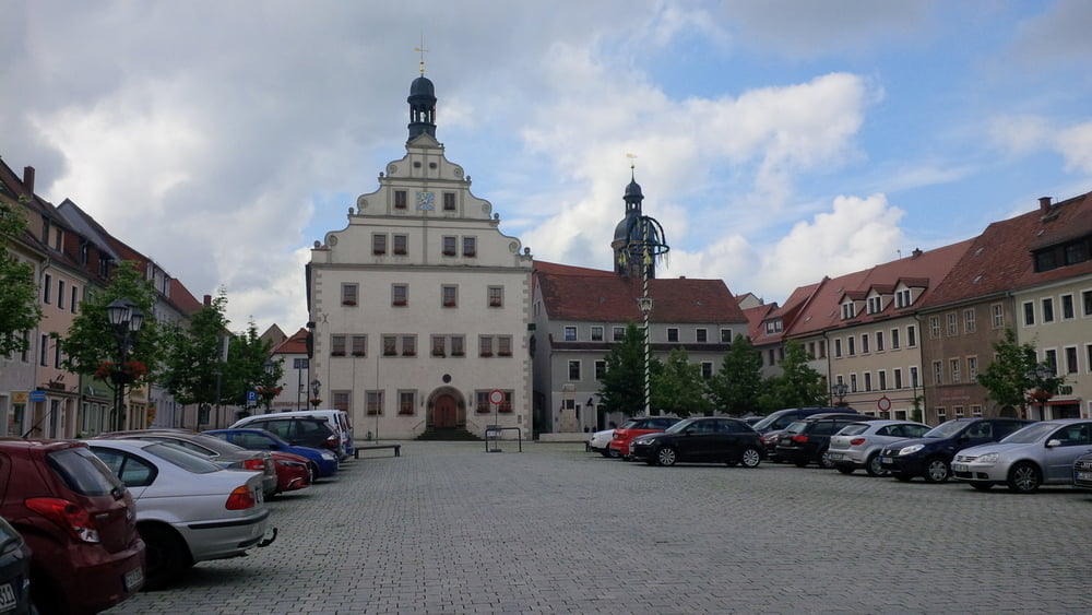
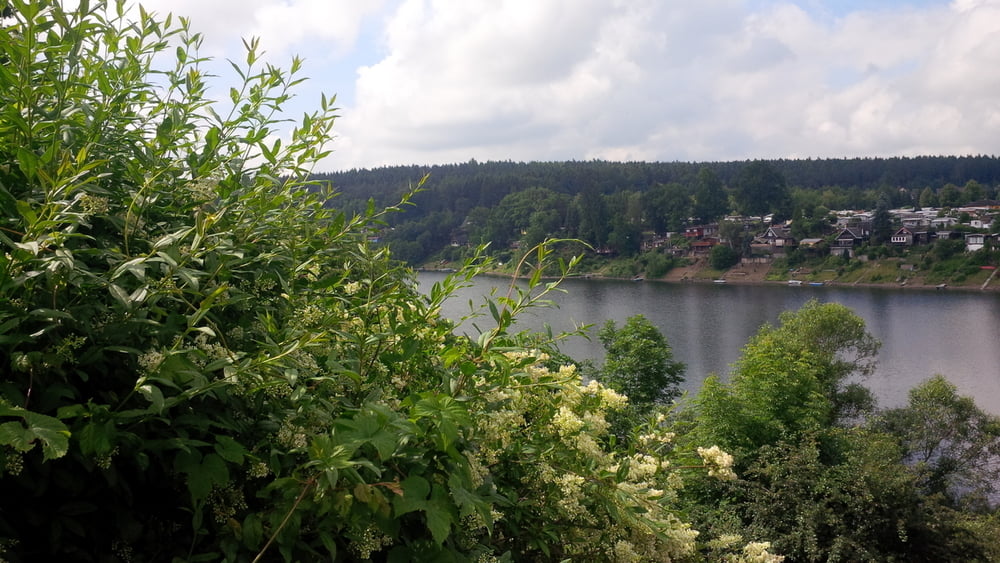
von dresden über goldene höhe zur maltertalsperre und dippoldiswalde. über elend und niederfrauendorf nach reinhardsgrimma. über den willisch nach kreischa und über babisnau, gaustritz und goppeln zurück.
galéria trás
Mapa trasy a výškový profil
Minimum height 104 m
Maximum height 459 m
komentáre

GPS trasy
Trackpoints-
GPX / Garmin Map Source (gpx) download
-
TCX / Garmin Training Center® (tcx) download
-
CRS / Garmin Training Center® (crs) download
-
Google Earth (kml) download
-
G7ToWin (g7t) download
-
TTQV (trk) download
-
Overlay (ovl) download
-
Fugawi (txt) download
-
Kompass (DAV) Track (tk) download
-
list trasy (pdf) download
-
Original file of the author (gpx) download
Add to my favorites
Remove from my favorites
Edit tags
Open track
My score
Rate


