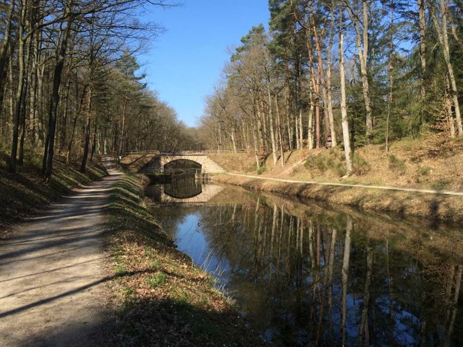
Leichte Ausfahrt für MTB oder Crossbike. Die Runde bewegt sich meist auf Straße und Schotterwegen, kleine Trailabschnitte sind jedoch auch vorhanden. Wir treffen auf den Kanal (Nürnberg- Main Donau Weg) und können uns am Birkensee eine kurze Pause gönnen bevor es weiter nach Dehnberg zum Italiener geht.
Viel Spaß wünscht die Radsportzentrale Hersbruck
Mapa trasy a výškový profil
Minimum height 261 m
Maximum height 607 m
komentáre

GPS trasy
Trackpoints-
GPX / Garmin Map Source (gpx) download
-
TCX / Garmin Training Center® (tcx) download
-
CRS / Garmin Training Center® (crs) download
-
Google Earth (kml) download
-
G7ToWin (g7t) download
-
TTQV (trk) download
-
Overlay (ovl) download
-
Fugawi (txt) download
-
Kompass (DAV) Track (tk) download
-
list trasy (pdf) download
-
Original file of the author (tcx) download
Add to my favorites
Remove from my favorites
Edit tags
Open track
My score
Rate


