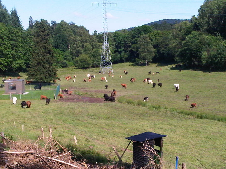
Von Homburg Schwarzenbach durch das Blies- und Taubental nach Kirkel Neuhäusel.
Am Abend matschte ich auf einem etwas zugeschwemmten Forstweg auf die Nordseite der A6 und fuhr dort auf einem besseren Weg nach Bayerisch Kohlhof um anschließend in Kirkel Limbach beim Wasgau meine Vorräte etwas aufzubessern.
Nach meinem Abstecher beim Hochdruckelefanten konnte ich mein Bike auch wieder ohne sandig zu werden anfassen.
Den Rest des Rückweges zum Ausgangspunkt nahm ich durch das Bliestal und etwas durch Beeden.
Further information at
http://www.biosphaere-bliesgau.eu/index.php/de/aktuelles/pressearchiv/246-presse-beedengaléria trás
Mapa trasy a výškový profil
Minimum height 228 m
Maximum height 327 m
komentáre

Start und Ziel in Homburg Schwarzenbach.
GPS trasy
Trackpoints-
GPX / Garmin Map Source (gpx) download
-
TCX / Garmin Training Center® (tcx) download
-
CRS / Garmin Training Center® (crs) download
-
Google Earth (kml) download
-
G7ToWin (g7t) download
-
TTQV (trk) download
-
Overlay (ovl) download
-
Fugawi (txt) download
-
Kompass (DAV) Track (tk) download
-
list trasy (pdf) download
-
Original file of the author (gpx) download
Add to my favorites
Remove from my favorites
Edit tags
Open track
My score
Rate


