


Tour Burgeis – Watles – Faulersee
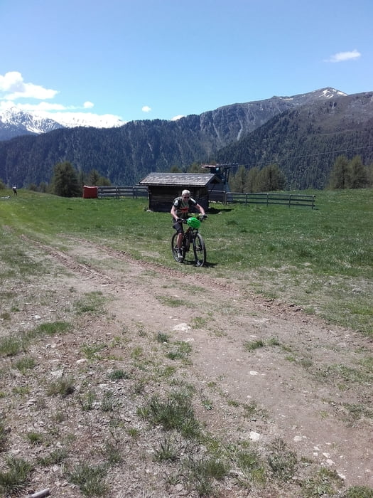
Die Tour startet in Burgeis am Dorfplatz. Von dort geht es in Richtung Schlinig / Watles.
In Prämajur beim Watles biegen wir links ab. Es geht steil bergauf durch Weiden. Alternativ könnt ihr auch noch bis zur Talstation von dem Watleslift fahren und dort dann den Schotterweg in Richtung Höferalm - Bergstation Watleslift fahren.
An der Plantapatschhütte angekommen fahren wir weiter in Richtung Pfaffersee (Nr.4) nach der Brücke am See fahren wir rechts ab (Nr.4). Ab hier ist es eine herrliche Abfahrt über den Faulersee, bis wir auf den Radweg vom Reschensee nach Burgeis treffen. Von hier kehren wir zum Ausgangspunkt zurück.
Am Anfang und Ende der Tour sind es Teerwege, sonst sind es Schotter- Wald- und Wiesenwege.
Die Tour wird im Uhrzeigersinn gefahren.
Tourendaten
Länge 24 km
Anstieg 1.060 m
galéria trás


Mapa trasy a výškový profil
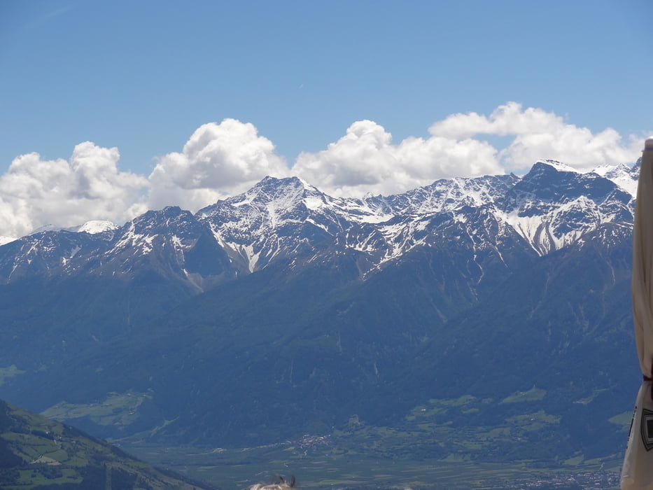
Minimum height 1201 m
Maximum height 2247 m
More about the tour author
|
|
Shaolin |
komentáre

Start 39024 Burgeis Dorfplatz – Vinschgau Italien
GPS trasy
Trackpoints-
GPX / Garmin Map Source (gpx) download
-
TCX / Garmin Training Center® (tcx) download
-
CRS / Garmin Training Center® (crs) download
-
Google Earth (kml) download
-
G7ToWin (g7t) download
-
TTQV (trk) download
-
Overlay (ovl) download
-
Fugawi (txt) download
-
Kompass (DAV) Track (tk) download
-
list trasy (pdf) download
-
Original file of the author (gpx) download
More about the tour author
|
|
Shaolin |
Add to my favorites
Remove from my favorites
Edit tags
Open track
My score
Rate