


Dies ist eine geänderte Variante der offiziellen Tour Nr. 14 von www.gardatrentino.it
Die Tour führt von Arco über das Dorf Varignano zu dem herrlichen Becken von Padaro. Danach kurbelt man immer weiter die Sepentinen hinauf bis ins Örtchen San Giovanni auf 1050m Höhe. Der Aufstieg erfolgt komplett auf Asphalt und ist dementsprechent "leicht" zu bewältigen.
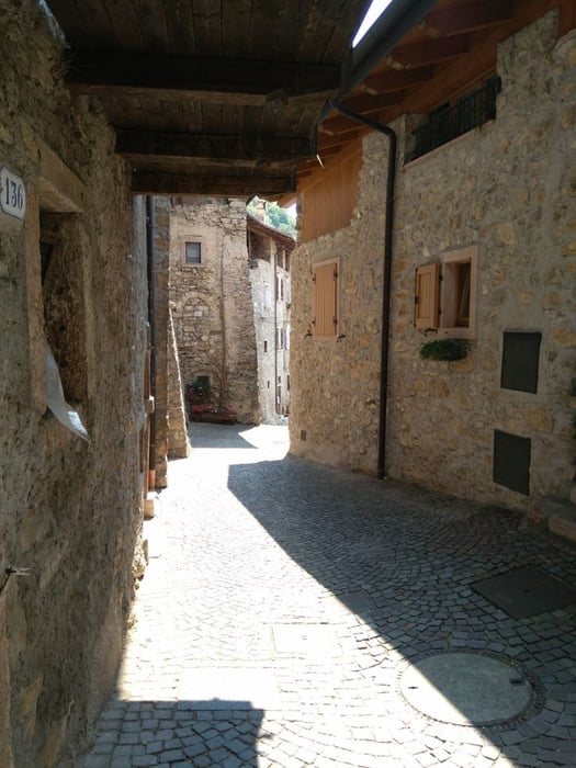
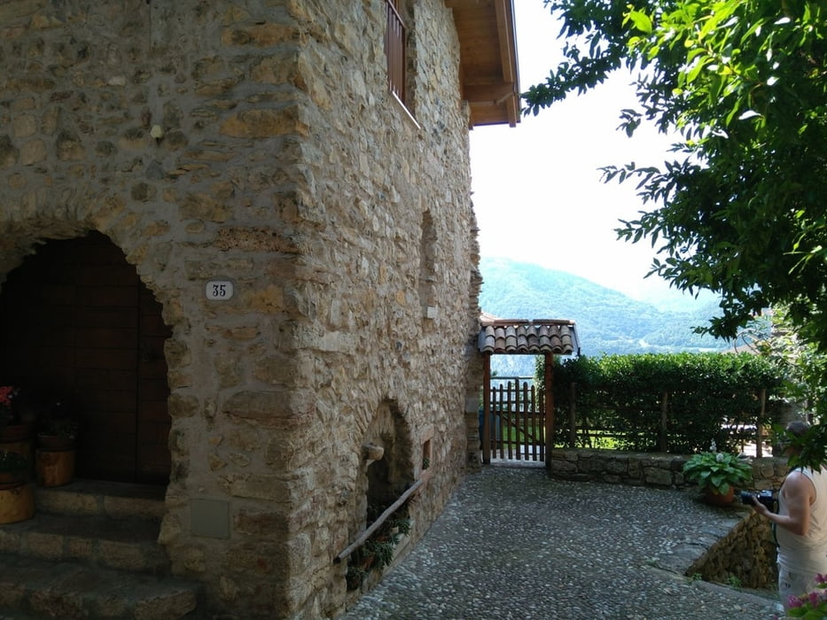
Nach einer Pause in San Giovanni ging es noch ein paar Kilometer weiter, bevor ich auf routing umgestellt habe, da der urprüngliche Track nur auf Teer und breiten Schotterpisten bergab führt. Auf diese Weise habe ich für die Abfahrt von meinem Garmin noch ein paar sehr schöne - bisweilen ziemlich anspruchsvolle - Trails serviert bekommen. Das malerische Örtchen Calvola hätte ich auf einer Hauptstraße umfahren, anstatt mitten hindurch zu rollen.
Technik 4 Sterne wegen steilen Spitzkehren und Stufen auf einem kurzen Teilstück, sowie ein paar gröberen Abfahrten über dicke Wacker. Davon ab einfach zu fahren.
galéria trás
Mapa trasy a výškový profil
Minimum height 86 m
Maximum height 1140 m
More about the tour author
|
|
highlander93 |
komentáre

GPS trasy
Trackpoints-
GPX / Garmin Map Source (gpx) download
-
TCX / Garmin Training Center® (tcx) download
-
CRS / Garmin Training Center® (crs) download
-
Google Earth (kml) download
-
G7ToWin (g7t) download
-
TTQV (trk) download
-
Overlay (ovl) download
-
Fugawi (txt) download
-
Kompass (DAV) Track (tk) download
-
list trasy (pdf) download
-
Original file of the author (gpx) download
More about the tour author
|
|
highlander93 |
Add to my favorites
Remove from my favorites
Edit tags
Open track
My score
Rate