Login

Zabudli ste prihlasovacia meno

Cookies have to be accepted!
Your browser's cookie functionality is disabled. Please enable this functionality.

Not a member yet?

Register now
Login

Available for registred users only

Log in to use this feature.

Zabudli ste prihlasovacia meno

Cookies have to be accepted!
Your browser's cookie functionality is disabled. Please enable this functionality.

Not a member yet?

Register now
Filter
Kategórie
Advanced filters
  • Dĺžka (km)
  • výškomer
Uložiť filter Reset filter

TrackRank

QRCode

Technical data

Dĺžka56,3 km výškomer1189 m Way down1184 m Doba02:05 h:m dátum05.08.2016
ohodnotenia Author Kraj pôžitok z túry kondícia technika

štatistika

186 náhľady ohodnotenia 38 Stiahnutia priemer
Rate
  • list trasy
  • príjazd
  • Stiahnutia
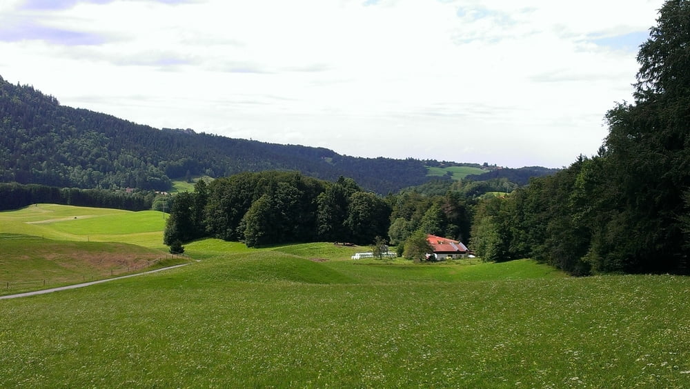
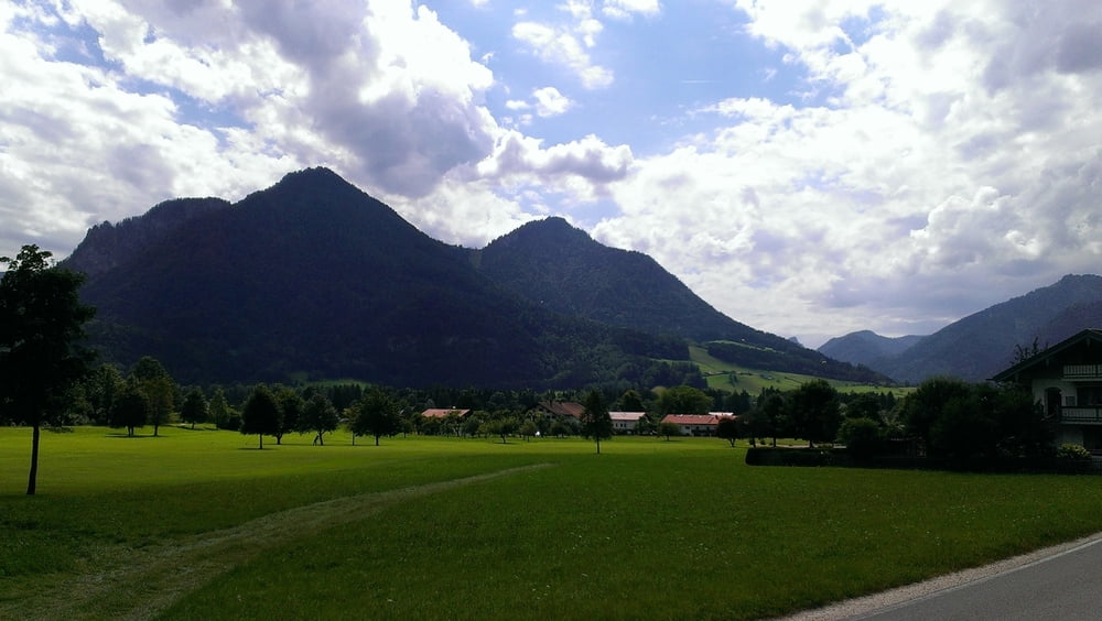
Die Tour beginnt in Siegsdorf am Rathaus und führt im Uhrzeigersinn um den Zinnkopf.

galéria trás

Mapa trasy a výškový profil

  • Open Street Map
  • Google
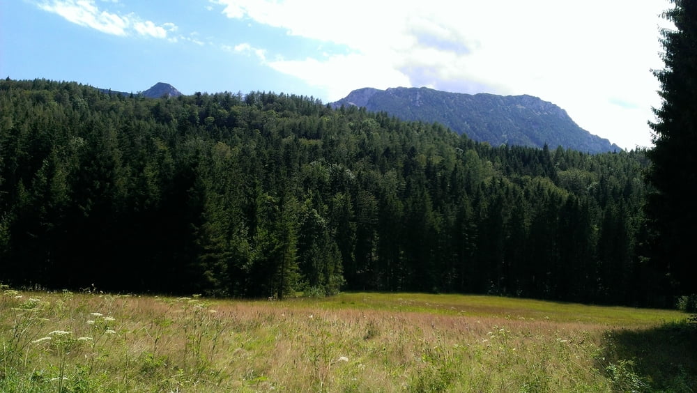
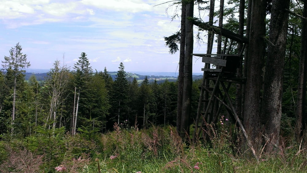
Minimum height 607 m Maximum height 1018 m Detailný pohľad

More about the tour author

coach60
Member since 2015

Send private message

komentáre

GPS trasy

Trackpoints
  • GPX / Garmin Map Source (gpx) download
  • TCX / Garmin Training Center® (tcx) download
  • CRS / Garmin Training Center® (crs) download
  • Google Earth (kml) download
  • G7ToWin (g7t) download
  • TTQV (trk) download
  • Overlay (ovl) download
  • Fugawi (txt) download
  • Kompass (DAV) Track (tk) download
  • list trasy (pdf) download
  • Original file of the author (gpx) download

More about the tour author

coach60
Member since 2015

Send private message
Share track
Add to my favorites
Remove from my favorites
Edit tags
My score
Rate
trasa: Um den Zinnkopf
Druh: horský bicykel
Dĺžka: 56,3 km
Evaluated on:
Doba:
Day(s)
Hour(s)
Minute(s)
ohodnotenie: Kraj pôžitok z túry kondícia technika