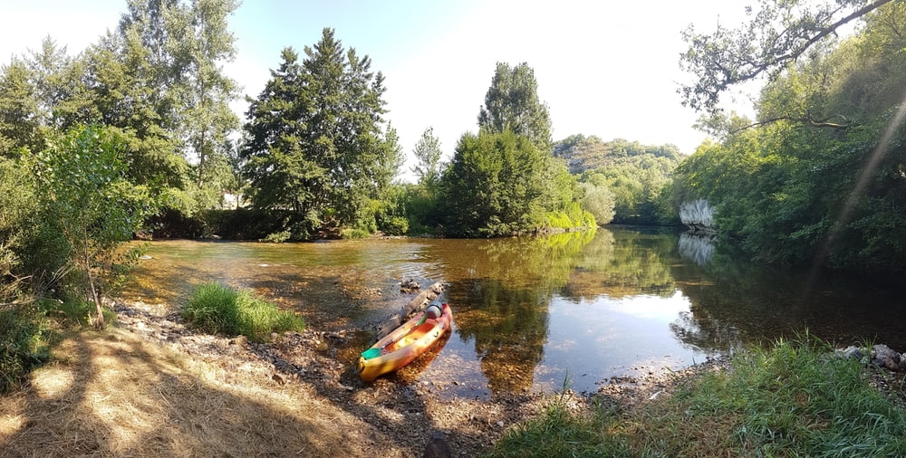
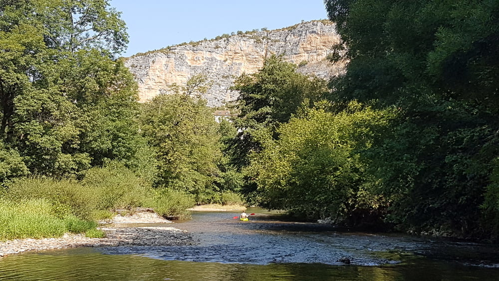
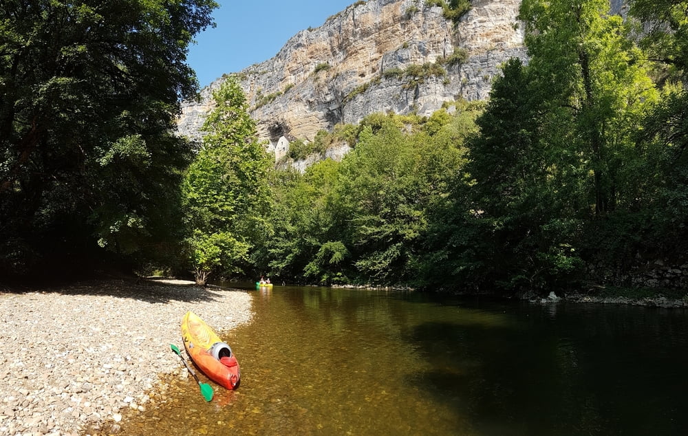
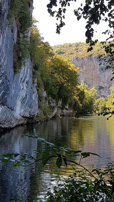
Der Célé ist ein Nebenfluss des Lot und verläuft in diesem Abschnitt in spektakulären Schleifen zwischen hohen Kalksteinfelsen.
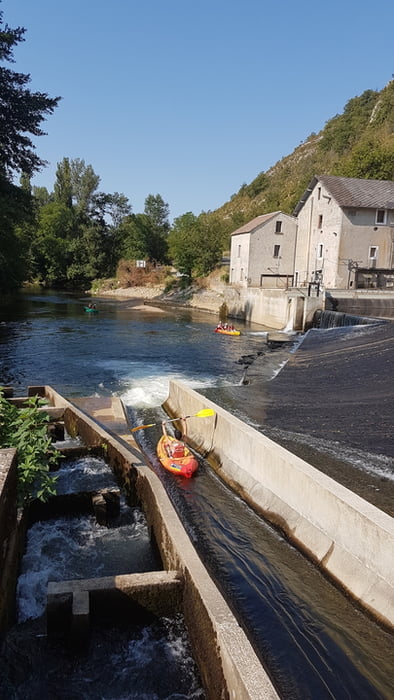
Die Tour selbst ist eine leichte und kurze, ohne große Schwierigkeiten mit nur einem Wehr, mit einer gut fahrbaren Bootsrutsche.
Further information at
https://de.wikipedia.org/wiki/C%C3%A9l%C3%A9galéria trás
Mapa trasy a výškový profil
Minimum height 122 m
Maximum height 172 m
komentáre

Von Cabrerets kommen auf der Straße flussaufwärts bis zum ausgeschilderten Bootsverleih.
GPS trasy
Trackpoints-
GPX / Garmin Map Source (gpx) download
-
TCX / Garmin Training Center® (tcx) download
-
CRS / Garmin Training Center® (crs) download
-
Google Earth (kml) download
-
G7ToWin (g7t) download
-
TTQV (trk) download
-
Overlay (ovl) download
-
Fugawi (txt) download
-
Kompass (DAV) Track (tk) download
-
list trasy (pdf) download
-
Original file of the author (gpx) download
Add to my favorites
Remove from my favorites
Edit tags
Open track
My score
Rate

