


Diese Tour könnte man ebenso als "Touring-Rad" einordnen. Bis Latschach und ab St. Philippen bewegt man sich auf ausphaltierten Radwegen. Dazwischen sind es Forst- und Wanderwege.
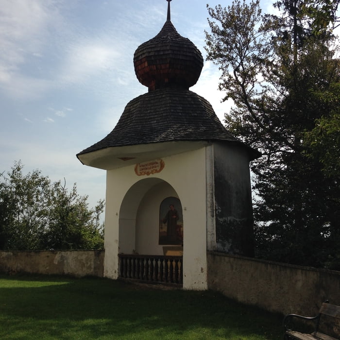
Startpunkt war die Rotkreuzzentrale in Klagenfurt. Auf dem Friesacher Radweg R7 bis zum Herzogstuhl. Arndorf, Ottmanach, Latschach ständig bergauf. Ab hier sind jedenfalls Mountainbikes nötig. Weiter ständig bergauf bis zum Zusammentreffen mit dem Weitwanderweg 06, der vom Magdalensberg zum Christophberg führt. Ab jetzt ziemlich eben bis zum Christophberg, wo sich eine Kirche und ein Gasthaus (904m) zur Rast anbieten. Die Strasse hinunter nach St. Philippen schaut zwar recht passabel aus, doch die Asphaltierung endet bald, denn geht es auf Schotter leicht bergab weiter. Die letzten Kilometer, wo es steil wird, gibt es zwar wieder Asphalt, aber von mieser Qualität. Ab St. Philippen fahren wir bis Geiersdorf auf dem R7A, ab hier auf dem R7F bis Reigersdorf. Hier nach Portendorf und neben dem Flughafen nach Gottesbichl, Drasendorf, Annabichl und über das Ortsgebiet zurück zum Roten Kreuz.
galéria trás
Mapa trasy a výškový profil
Minimum height 414 m
Maximum height 905 m
More about the tour author
|
|
walderich |
komentáre

GPS trasy
Trackpoints-
GPX / Garmin Map Source (gpx) download
-
TCX / Garmin Training Center® (tcx) download
-
CRS / Garmin Training Center® (crs) download
-
Google Earth (kml) download
-
G7ToWin (g7t) download
-
TTQV (trk) download
-
Overlay (ovl) download
-
Fugawi (txt) download
-
Kompass (DAV) Track (tk) download
-
list trasy (pdf) download
-
Original file of the author (gpx) download
More about the tour author
|
|
walderich |
Add to my favorites
Remove from my favorites
Edit tags
Open track
My score
Rate