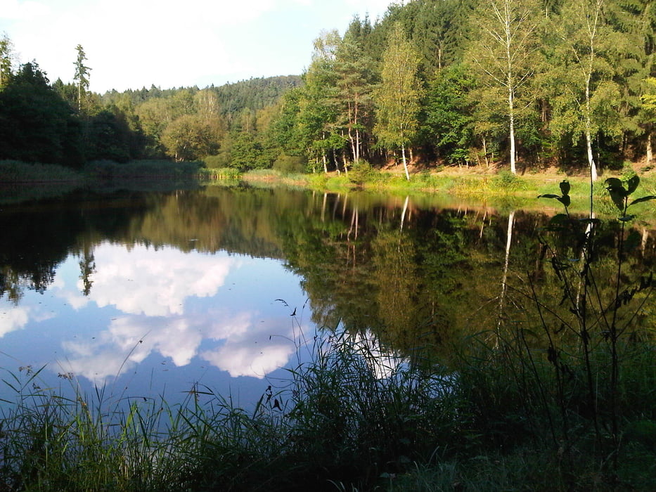
Am Morgen fuhr ich auf meiner Lieblingsstrecke von Homburg Schwarzenbach nach Kirkel Neuhäusel.
Am Abend radelte ich an der Straße entlang in Richtung Westen um dann am Pfeifferwald entlang durch das Frohnsbachtal nach Niederwürzbach hinunterzufahren.
Ich verließ Niederwürzbach auf dem Anstieg zur Moto-Cross-Strecke und fuhr gleich weiter nach Biesingen. Dort hatte der Bäcker wegen Mittwoch leider geschlossen, so fuhr ich eben ohne Einkauf weiter nach Süden um auf den Kalbenberg zu gelangen. Leider ist weder von der Antenne noch vom Krez viel zu sehen. So radlte ich auf dem Bergsporn weiter und erreichte doch noch einen Aussichtspunkt bevor ich auf einer unangenehm rolligen Strecke nach Wolfersheim abfuhr.
Der weitere Weg führte mich auf einem netten Radweg weiter bergab nach Bliesdahlheim und von dort nach Blieskastel wo ich meinen Grundbedarf deckte.
Den restlichen Rückweg zum Ausgangspunkt bewältigte ich nun entspannt auf dem Radweg im Bliestal.
Further information at
https://de.wikipedia.org/wiki/Bliesgaugaléria trás
Mapa trasy a výškový profil
komentáre

Start und Ziel in Homburg Schwarzenbach.
GPS trasy
Trackpoints-
GPX / Garmin Map Source (gpx) download
-
TCX / Garmin Training Center® (tcx) download
-
CRS / Garmin Training Center® (crs) download
-
Google Earth (kml) download
-
G7ToWin (g7t) download
-
TTQV (trk) download
-
Overlay (ovl) download
-
Fugawi (txt) download
-
Kompass (DAV) Track (tk) download
-
list trasy (pdf) download
-
Original file of the author (gpx) download


