Login

Zabudli ste prihlasovacia meno

Cookies have to be accepted!
Your browser's cookie functionality is disabled. Please enable this functionality.

Not a member yet?

Register now
Login

Available for registred users only

Log in to use this feature.

Zabudli ste prihlasovacia meno

Cookies have to be accepted!
Your browser's cookie functionality is disabled. Please enable this functionality.

Not a member yet?

Register now
Filter
Kategórie
Advanced filters
  • Dĺžka (km)
  • výškomer
Uložiť filter Reset filter

TrackRank

QRCode

Technical data

Dĺžka35,8 km výškomer272 m Way down290 m Doba03:00 h:m dátum17.09.2016
ohodnotenia Author Kraj pôžitok z túry kondícia technika

štatistika

350 náhľady ohodnotenia 22 Stiahnutia priemer
Rate
  • list trasy
  • príjazd
  • Stiahnutia

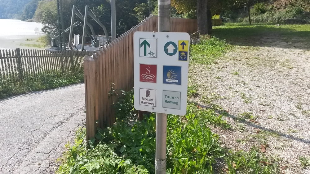
gemütliche MTB Tour von Bad Reichenhall ( Fussgängerzone ) startend auf dem Tauernradweg entlang bis nach Unken und zurück .


galéria trás

Mapa trasy a výškový profil

  • Open Street Map
  • Google
Minimum height 461 m Maximum height 545 m Detailný pohľad

More about the tour author

franz1962
Member since 2011

Send private message

komentáre

GPS trasy

Trackpoints
  • GPX / Garmin Map Source (gpx) download
  • TCX / Garmin Training Center® (tcx) download
  • CRS / Garmin Training Center® (crs) download
  • Google Earth (kml) download
  • G7ToWin (g7t) download
  • TTQV (trk) download
  • Overlay (ovl) download
  • Fugawi (txt) download
  • Kompass (DAV) Track (tk) download
  • list trasy (pdf) download
  • Original file of the author (gpx) download

More about the tour author

franz1962
Member since 2011

Send private message
Share track
Add to my favorites
Remove from my favorites
Edit tags
My score
Rate
trasa: Bad Reichenhall nach Unken Tauernradweg
Druh: horský bicykel
Dĺžka: 35,8 km
Evaluated on:
Doba:
Day(s)
Hour(s)
Minute(s)
ohodnotenie: Kraj pôžitok z túry kondícia technika