
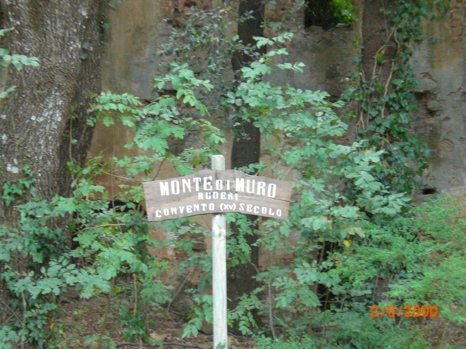

vom Camping Baia Verde Richtung Cala Violina. Den Trail Nr. 1 kurz nach der Schranke folgen. Super Trail - erdig, einige Wurzeln, schmal. Die strasse nach Puntone überqueren und nach Gatter scharf rechts und dann links. Wieder schöner Trail - erst etwas breiter, dann wieder schmal und erdig. Echt super. Ca. 1Std bis zum Aufstieg auf den Monte Muro. Dann den Gattolina-Trail hinab (S1). Man kommt auf der Fahrstrasse raus, die weiter zur Buca della Neve führt. Die Auffahrt ist am Anfang locker und wird dann ab St. Lucia steiler. Weiter zum Buca della Neve und den Carbonai-Trail runter (S1 flowig). Ich bin dann noch gegenüber eine Feuerschneise raufgeschoben und runtergefahren (sollte man nicht machen, um sich die Eindrücke von den beiden Trailabfahrten nicht zu versauen). Hat keinen Spass gemacht. Zurück auf der Strasse zum Camping.
Further information at
http://www.baiaverde.com/grosseto-maremma/campingplatz-toskana-italien/galéria trás

Mapa trasy a výškový profil
Minimum height 16 m
Maximum height 505 m
More about the tour author
|
|
Fruehaufsteher |
komentáre

GPS trasy
Trackpoints-
GPX / Garmin Map Source (gpx) download
-
TCX / Garmin Training Center® (tcx) download
-
CRS / Garmin Training Center® (crs) download
-
Google Earth (kml) download
-
G7ToWin (g7t) download
-
TTQV (trk) download
-
Overlay (ovl) download
-
Fugawi (txt) download
-
Kompass (DAV) Track (tk) download
-
list trasy (pdf) download
-
Original file of the author (gpx) download
More about the tour author
|
|
Fruehaufsteher |
Add to my favorites
Remove from my favorites
Edit tags
Open track
My score
Rate