
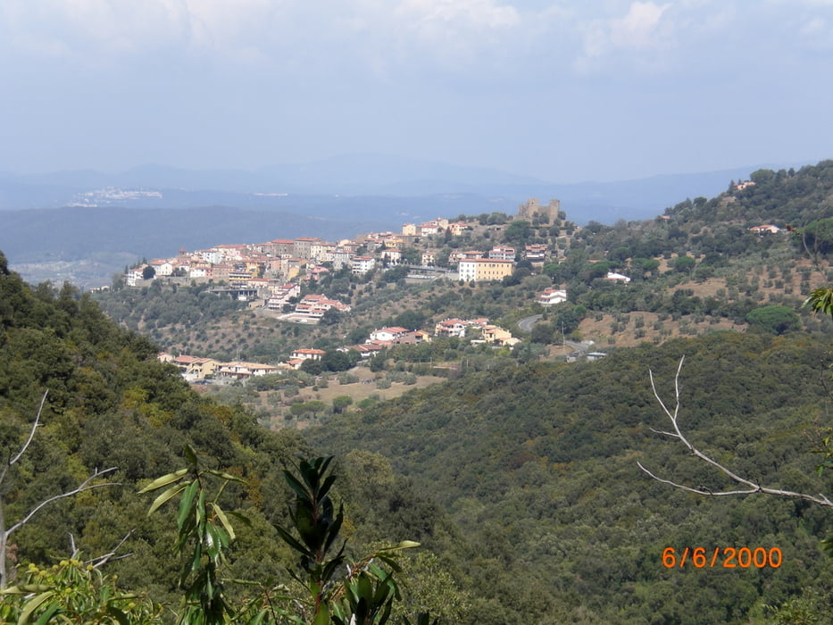

vom Camping Baia Verde Richtung Cala Violina. Den Trail Nr. 1 kurz nach der Schranke folgen. Super Trail - erdig, einige Wurzeln, schmal. Die Strasse nach Puntone überqueren und nach Gatter scharf rechts und dann links. Wieder schöner Trail - erst etwas breiter, dann wieder schmal und erdig. Echt super. Ca. 1Std bis zum Aufstieg auf den Monte Muro. Danach kurzes Stück schieben und den Weg Nr. 28 runter (S2 - S3). Ziemlich zugewachsen, grobe Steine, viele Äste - nicht gepflegt. Dann weiter nach Scarlino un den Weg hoch wieder Richtung Buca della Neve und den Tre Dita - Trail hinab (S1 - S2). Auffahrt wieder über St. Lucia zum Buca della Neve. Ich bin dann irrtümlicherweise wieder einen Weg hinab gefahren und den Weg Nr. 28 (Herfahrt) hochgeschoben. Besser oben auf dem Weg Nr. 33 bleiben und dann links ab auf den Weg Nr. 23 zurück zum Monte Muro. Hier dann wieder den Gattolina-Trail hinab (S1). Strasse zurück zum Camping.
Further information at
http://www.baiaverde.com/grosseto-maremma/campingplatz-toskana-italien/galéria trás


Mapa trasy a výškový profil
Minimum height -13 m
Maximum height 478 m
More about the tour author
|
|
Fruehaufsteher |
komentáre

GPS trasy
Trackpoints-
GPX / Garmin Map Source (gpx) download
-
TCX / Garmin Training Center® (tcx) download
-
CRS / Garmin Training Center® (crs) download
-
Google Earth (kml) download
-
G7ToWin (g7t) download
-
TTQV (trk) download
-
Overlay (ovl) download
-
Fugawi (txt) download
-
Kompass (DAV) Track (tk) download
-
list trasy (pdf) download
-
Original file of the author (gpx) download
More about the tour author
|
|
Fruehaufsteher |
Add to my favorites
Remove from my favorites
Edit tags
Open track
My score
Rate