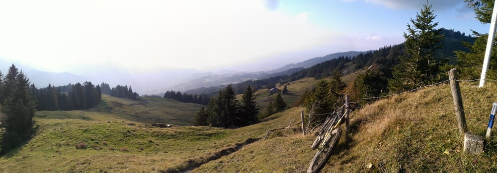
Endurotour von Kehleck aus
Start in Kehlegg am Kindergarten, bis dort hat es von Dornbirn her nur Strassen und Güterwege.
Bis Bregenzerhütte angenehmer Güterweg, dann schwieriger, meist feuchter Endurotrail mit Schiebestellen über Gräsakopf zum Gschwendner Sattel. Den Gräsakopf 1355m kann man links umfahren, dann nicht den 50hm Stich schiebend hoch, sondern dem markierten Wanderweg folgen. Die Abfahrt vom Grasakopf zum Gschwendner Sattel ist exponiert und ausgesetzt. Weiter über das Moor (Rücksicht an feuchten Stellen) zum Älpele, dort links steil hoch zur Hochälpele Hütte (Einkehrmöglichkeit). Zum Älpele führ direkt ein Fahrweg von Bregenzerhütte aus, falls man nicht Zeit hat um/über den Gräsakopf zu fahren (schwer).
Auf Trail zum Lanklift, dort links in den Wald und dem Winter - Skiaufstieg folgen bis zur nächsten Gabelung. Dort links am Hang entlang ansteigend zurück zum Trail der von der Hochälpelehütte runter kommt und auf diesem bis zum Aussichtspunkt vor Kehleck. Schwierigkeit S2-S3
galéria trás
Mapa trasy a výškový profil
komentáre

Parken am Kindergarten in Kehlegg.
GPS trasy
Trackpoints-
GPX / Garmin Map Source (gpx) download
-
TCX / Garmin Training Center® (tcx) download
-
CRS / Garmin Training Center® (crs) download
-
Google Earth (kml) download
-
G7ToWin (g7t) download
-
TTQV (trk) download
-
Overlay (ovl) download
-
Fugawi (txt) download
-
Kompass (DAV) Track (tk) download
-
list trasy (pdf) download
-
Original file of the author (gpx) download


