Die Umrundung eines Gebirgsstocks kann genau so schön und erlebnisreich sein, wie eine Gipfelfahrt. Eine Rundtour hat den Reiz, dass man praktisch an beliebigen Stellen beginnen kann. Zu den sehr beliebten Touren zählt in unseren Gefilden die Reiteralm-Runde. Sie ist vielfach beschrieben, weshalb ich auf eine weitere ausführliche Kommentierung verzichte.
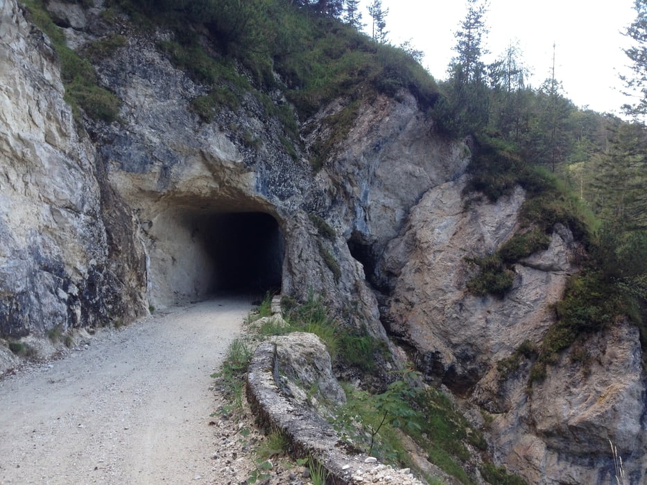
Meine Tour beginnt in Oberjettenberg beim Wandererparkplatz und führt aufwärts zur Rastnockhütte, durch Tunnels hinunter nach Aschau, Reith, Auer, Lofer, Strohwolln und über das Wildental hinauf nach Hirschbichl. An der Bindalm legte ich meine Rast vor herrlicher Gebirgskulisse ein. Die Abfahrt im Nationalpark hinaus zum Hintersee und über die Schwarzbachwacht zurück nach Oberjettenberg ist immer wieder ein Schmankerl.
galéria trás
Mapa trasy a výškový profil
komentáre

großer kostenloser Wandererparkplatz in Oberjettenberg. Rechts von der Alpenstraße die nach Schwarzbachwacht, Ramsau führt abzweigen. In unmittelbarer Nähe beginnen die Parkplätze.
GPS trasy
Trackpoints-
GPX / Garmin Map Source (gpx) download
-
TCX / Garmin Training Center® (tcx) download
-
CRS / Garmin Training Center® (crs) download
-
Google Earth (kml) download
-
G7ToWin (g7t) download
-
TTQV (trk) download
-
Overlay (ovl) download
-
Fugawi (txt) download
-
Kompass (DAV) Track (tk) download
-
list trasy (pdf) download
-
Original file of the author (gpx) download


