Login

Zabudli ste prihlasovacia meno

Cookies have to be accepted!
Your browser's cookie functionality is disabled. Please enable this functionality.

Not a member yet?

Register now
Login

Available for registred users only

Log in to use this feature.

Zabudli ste prihlasovacia meno

Cookies have to be accepted!
Your browser's cookie functionality is disabled. Please enable this functionality.

Not a member yet?

Register now
Filter
Kategórie
Advanced filters
  • Dĺžka (km)
  • výškomer
Uložiť filter Reset filter

TrackRank

QRCode

Technical data

Dĺžka14,6 km výškomer23 m Way down42 m Doba00:45 h:m dátum20.01.2017
ohodnotenia Author Kraj pôžitok z túry kondícia technika

štatistika

376 náhľady ohodnotenia 11 Stiahnutia priemer
Rate
  • list trasy
  • príjazd
  • Stiahnutia

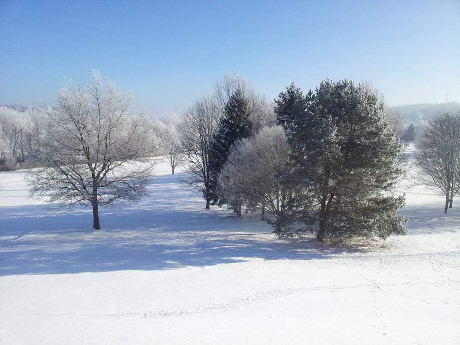
Einfache leider selten gespurt Klassikloipe in der nähe von München. Immer gut für eine kleine Feierabendrunde. Leider kein online Loipenbericht.

Einstieg direkt hinter dem Orstausgangsschild Gauting.

Laufrichtung nicht vorgeschrieben.

Viel Spaß!


Mapa trasy a výškový profil

  • Open Street Map
  • Google
Minimum height 419 m Maximum height 452 m Detailný pohľad

More about the tour author

Kempi
Member since 2008

Send private message

komentáre

GPS trasy

Trackpoints
  • GPX / Garmin Map Source (gpx) download
  • TCX / Garmin Training Center® (tcx) download
  • CRS / Garmin Training Center® (crs) download
  • Google Earth (kml) download
  • G7ToWin (g7t) download
  • TTQV (trk) download
  • Overlay (ovl) download
  • Fugawi (txt) download
  • Kompass (DAV) Track (tk) download
  • list trasy (pdf) download
  • Original file of the author (gpx) download

More about the tour author

Kempi
Member since 2008

Send private message
Share track
Add to my favorites
Remove from my favorites
Edit tags
My score
Rate
trasa: Buchendorfer Waldrand
Druh: beh na dlhe trate
Dĺžka: 14,6 km
Evaluated on:
Doba:
Day(s)
Hour(s)
Minute(s)
ohodnotenie: Kraj pôžitok z túry kondícia technika