


- Rundkurs gegen den Uhrzeigersinn
- Start/Ziel: St. Michael/Eppan
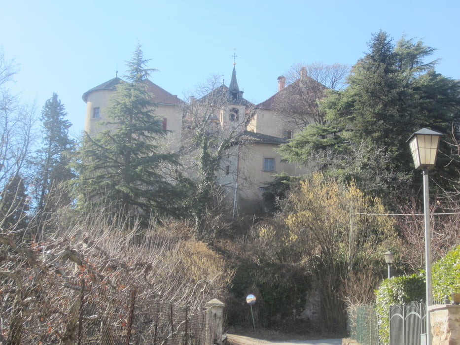
- Vom Dorfzentrum St.Michael/Eppan (MH 429) bergauf durch die Weinberge, an Schloss "Englar" vorbei. Bei (KM 2,8 - MH 600) beginnt der Matschatscher-Forstweg(mittelsteil-mittelsteil+). Durch vom Sonnenlicht durchflutete Buchenwälder radeln wir bis zum geschlossenen Gasthof "Matschatsch"(KM 5,3-MH 891). Auf der Mendelstrasse talwärts bis (KM 8,1-MH 711). Rechts abbiegen. Auf dem St. Nikolaus-Forstweg am Berghang entlang, im Auf und Ab richtung Kaltern.
- Ende St.Nikolausweg(KM 10,3-MH 829). Weiter auf teilweise schmalem Steig. Kurze Schiebepassage. Brunnen/Trinkwasser(KM 10,4).
- Weiter auf dem Eppaner Höhenweg bis nach Altenburg(KM 18,3-MH 670)
- Von Altenburg auf Asphalt, bzw. Forstweg talwärts, nach Kaltern. Ab Kaltern auf dem Radweg zurück nach St.Michael/Eppan (KM 30,2-MH 429), dem Ausgangspunkt.
galéria trás


Mapa trasy a výškový profil
Minimum height 404 m
Maximum height 896 m
More about the tour author
|
|
MargesinFriedrich |
komentáre

GPS trasy
Trackpoints-
GPX / Garmin Map Source (gpx) download
-
TCX / Garmin Training Center® (tcx) download
-
CRS / Garmin Training Center® (crs) download
-
Google Earth (kml) download
-
G7ToWin (g7t) download
-
TTQV (trk) download
-
Overlay (ovl) download
-
Fugawi (txt) download
-
Kompass (DAV) Track (tk) download
-
list trasy (pdf) download
-
Original file of the author (gpx) download
More about the tour author
|
|
MargesinFriedrich |
Add to my favorites
Remove from my favorites
Edit tags
Open track
My score
Rate