

Klassifizierung: 0+
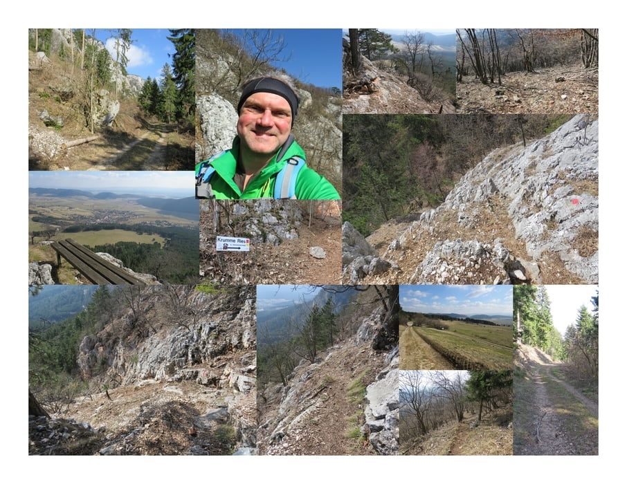
Ich mache eine kurze Rast an der Wand und dann einige Fotos am Gipfelkreuz. Der Ausblick ist einfach großartig :).
Nun folge ich dem beschilderten Steig nach unten. Immer wieder mache ich Fotos und setze mich kurz auf die Maiersdorfer Rast (Sitzbank).
Dann folge ich dem Steig weiter bergab bis zum Eisenbahner Weg und gehe anschließend das letzte Stück auf der Forststraße retour zum Sonnenuhrparkplatz.
Meine Meinung: Die Krumme Ries ist für eine Wanderung geeignet! Es gibt leichte Kletterstellen (weil bergab!) und man muss sich da und dort mit den Händen abstützen.
Further information at
http://www.volki.at/berge/hw/hw.shtmlMapa trasy a výškový profil
Minimum height 578 m
Maximum height 884 m
More about the tour author
|
|
huberj59 |
komentáre

Start der 2 Wandersteige-Tour ist am Sonnenuhrparkplatz mit den Koordinaten N47 49 40.3 E16 03 01.4.
Wochentags ist keine Maut zu bezahlen.
Die Hohe Wand erreicht man über die A2 Südautobahn. Entweder Abfahrt Wöllersdorf oder Abfahrt Wr. Neustadt.
Tipp (liegt an der Route): http://www.gasthof-postl.at/index.php4
Naturpark Hohe Wand: http://naturpark-hohewand.at/
GPS trasy
Trackpoints-
GPX / Garmin Map Source (gpx) download
-
TCX / Garmin Training Center® (tcx) download
-
CRS / Garmin Training Center® (crs) download
-
Google Earth (kml) download
-
G7ToWin (g7t) download
-
TTQV (trk) download
-
Overlay (ovl) download
-
Fugawi (txt) download
-
Kompass (DAV) Track (tk) download
-
list trasy (pdf) download
-
Original file of the author (gpx) download
More about the tour author
|
|
huberj59 |
Add to my favorites
Remove from my favorites
Edit tags
Open track
My score
Rate