


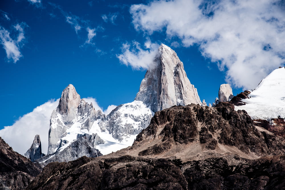
Puerto Montt bis Villa O`Higgins auf der Carretera Austra. Allerdings mit dem kleinen aber lohnenden Umweg über Bariloche.
Es sind nahezu alle POIs entlang dieser Strecke (außer bei den großen Ortschaften, wo es sowieso
alles gibt) eingezeichnet und kommentiert. Essen, Wasser, Benzin, Unterkunft und die Pässe sind also vermerkt als Symbol.
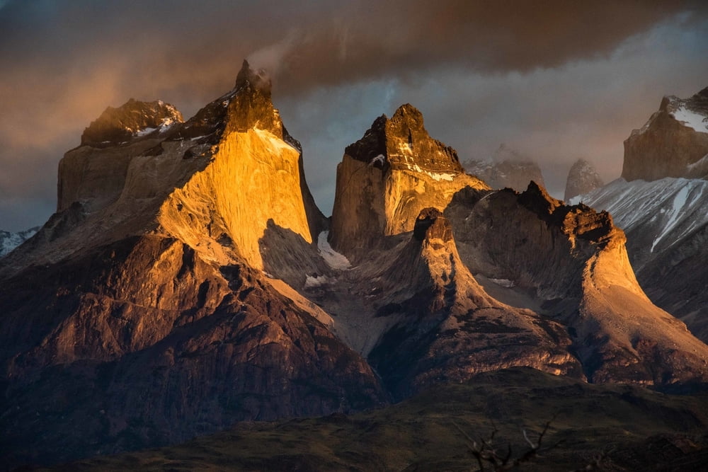
Weiter von Villa O`Higgins auf der Route entlang der wichtigsten Sehenswürdigkeiten bis Punta Arenas. Tagesetappen jeweils ca. 60-80 km.
Ein Tagebuch gibt`s auf www.grobstollig.blogspot.com
Eine genaue Beschreibung auf http://www.grobstollig.de/MTB-Touren/Patagonien/patagonien.html
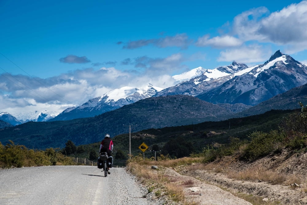
Die meisten Radler sind mit Mountainbikes unterwegs. Es geht aber auch mit einem Trekkingbike, und sogar sehr gut. Bin mit einem Radon Bike Sunset Supreme gefahren und hatte keinerlei Defekte oder Schwierigkeiten beim Fahren.
Further information at
http://grobstollig.blogspot.comgaléria trás
Mapa trasy a výškový profil
Minimum height -24 m
Maximum height 1095 m
More about the tour author
|
|
eisenbereifter3 |
komentáre

Am Besten mit LATAM über Madrid.
GPS trasy
Trackpoints-
GPX / Garmin Map Source (gpx) download
-
TCX / Garmin Training Center® (tcx) download
-
CRS / Garmin Training Center® (crs) download
-
Google Earth (kml) download
-
G7ToWin (g7t) download
-
TTQV (trk) download
-
Overlay (ovl) download
-
Fugawi (txt) download
-
Kompass (DAV) Track (tk) download
-
list trasy (pdf) download
-
Original file of the author (gpx) download
More about the tour author
|
|
eisenbereifter3 |
Add to my favorites
Remove from my favorites
Edit tags
Open track
My score
Rate