


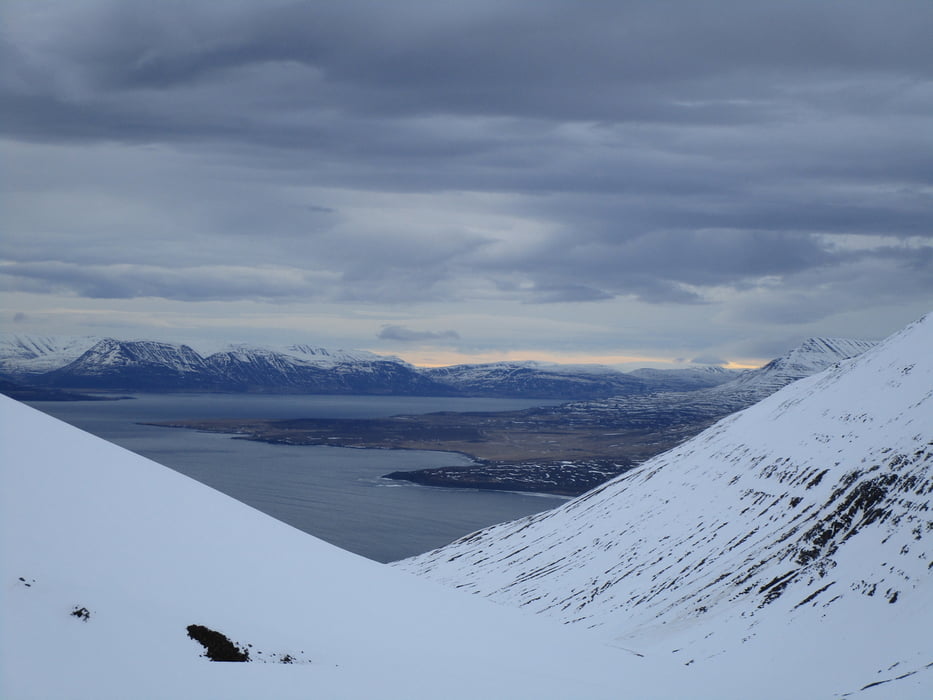
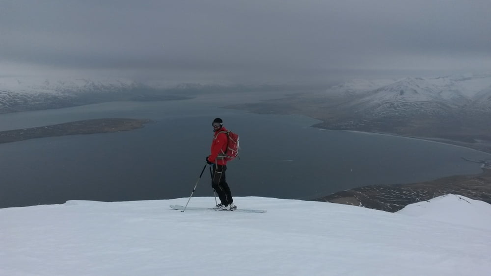
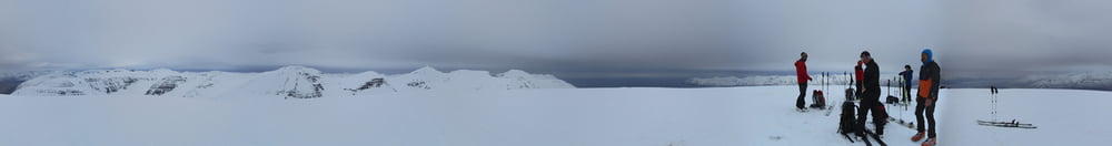
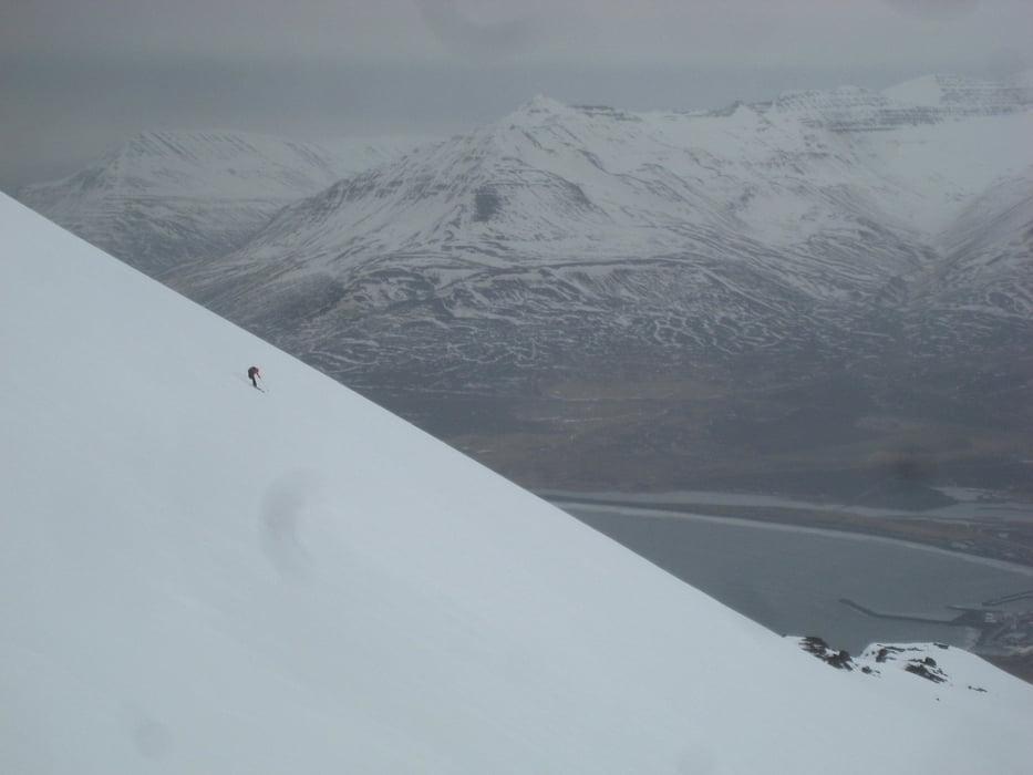
Das erste Tal nördlich von Dalvik auf der rechten Talseite hinauf. Wo das Tal leicht links abknickt das Seitental rechts hinauf und dann wieder links haltend das Tal hinauf bis in eine Scharte. Von dort rechts bis zum Gipfel des J. Vom Gipfel steil nordöstlich hinab, so weit wie es Spaß macht. Dann wieder zu der schon in der Abfahrt offensichtlichen, rechts liegenden Rampe und bis zu einem schwach ausgeprägten Sattel. Leicht links haltend empor bis zu Gipfel des S.
Jahreszeit der Tour: Ende März
galéria trás
Mapa trasy a výškový profil
Minimum height 30 m
Maximum height 884 m

komentáre

Von Dalvik nach Norden, kurz nach dem Ortsende steht rechts ein weißes Haus mit rotem Dach. Kurz vor dem Haus ist eine Parkbucht. Start von hier
GPS trasy
Trackpoints-
GPX / Garmin Map Source (gpx) download
-
TCX / Garmin Training Center® (tcx) download
-
CRS / Garmin Training Center® (crs) download
-
Google Earth (kml) download
-
G7ToWin (g7t) download
-
TTQV (trk) download
-
Overlay (ovl) download
-
Fugawi (txt) download
-
Kompass (DAV) Track (tk) download
-
list trasy (pdf) download
-
Original file of the author (gpx) download
Add to my favorites
Remove from my favorites
Edit tags
Open track
My score
Rate