Login

Zabudli ste prihlasovacia meno

Cookies have to be accepted!
Your browser's cookie functionality is disabled. Please enable this functionality.

Not a member yet?

Register now
Login

Available for registred users only

Log in to use this feature.

Zabudli ste prihlasovacia meno

Cookies have to be accepted!
Your browser's cookie functionality is disabled. Please enable this functionality.

Not a member yet?

Register now
Filter
Kategórie
Advanced filters
  • Dĺžka (km)
  • výškomer
Uložiť filter Reset filter

TrackRank

QRCode

Technical data

Dĺžka27,6 km výškomer1197 m Way down1197 m Doba04:00 h:m dátum12.05.2017
ohodnotenia Author Kraj pôžitok z túry kondícia technika

štatistika

347 náhľady 1 ohodnotenie 88 Stiahnutia 5.00 priemer
Rate
  • list trasy
  • príjazd
  • Stiahnutia
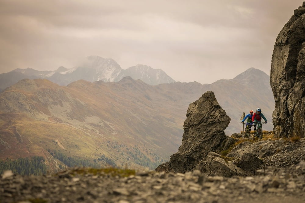
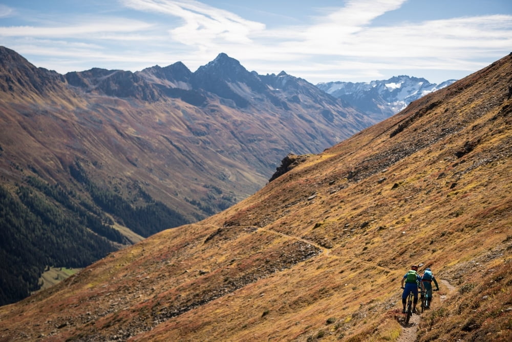
Von der Bergstation der Parsennbahn via Single-Trail am Hang entlang zur Chörbschhornhütte. Ab und zu werden galerieartige Lawinenverbauungen durchquert, bevor eine flowige Trail-Abfahrt mit einigen technischen Passagen zurück ins Tal und nach Davos führt.

Further information at

https://supertrail.guide/touren/davos-choerbschhorn/

galéria trás

Mapa trasy a výškový profil

  • Open Street Map
  • Google
Minimum height 1506 m Maximum height 2575 m Detailný pohľad

More about the tour author

SupertrailGuide
Member since 2017

Send private message

komentáre

luckymaaa on 22.09.2018

schöne Tour

bin die Tour diese Woche so gefahren, man kann aber auch bis zur Mittelstation der Parsennbahn fahren oder bis zur Bergstation. Man schenkt sich einen grossteil der Hm. Der Panoramaweg ist gut zu fahren mit schöner Aussicht. Die Aussicht vom Chöbschhorn gigantisch. Der Trail ist gut fahrbar aber man merkt das er viel befahren wird. Fast unten angekommen, da wo man auf die Waldstrasse fährt, kann man links in den Wald abbiegen und nimmt so noch einen tollen Trail mit, bis fast ins Tal runter. Lohnt sich.

GPS trasy

Trackpoints
  • GPX / Garmin Map Source (gpx) download
  • TCX / Garmin Training Center® (tcx) download
  • CRS / Garmin Training Center® (crs) download
  • Google Earth (kml) download
  • G7ToWin (g7t) download
  • TTQV (trk) download
  • Overlay (ovl) download
  • Fugawi (txt) download
  • Kompass (DAV) Track (tk) download
  • list trasy (pdf) download
  • Original file of the author (gpx) download

More about the tour author

SupertrailGuide
Member since 2017

Send private message
Share track
Add to my favorites
Remove from my favorites
Edit tags
My score
Rate
trasa: CHÖRBSCHHORN - präsentiert von supertrail.guide
Druh: horský bicykel
Dĺžka: 27,6 km
Evaluated on:
Doba:
Day(s)
Hour(s)
Minute(s)
ohodnotenie: Kraj pôžitok z túry kondícia technika