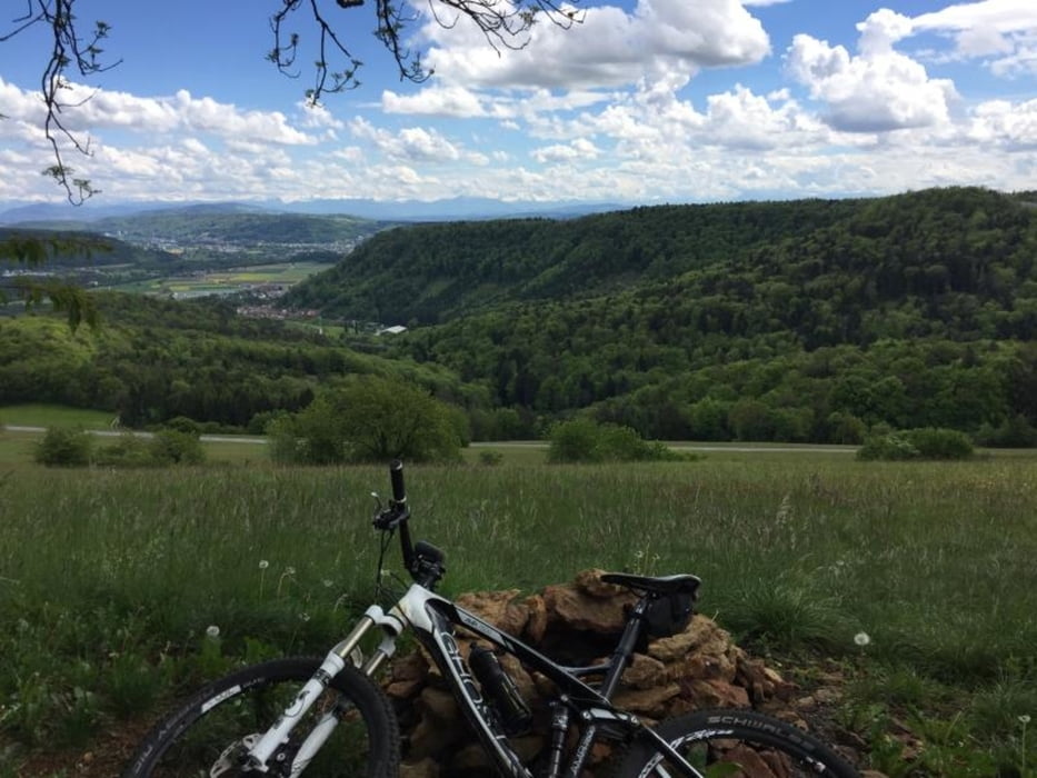
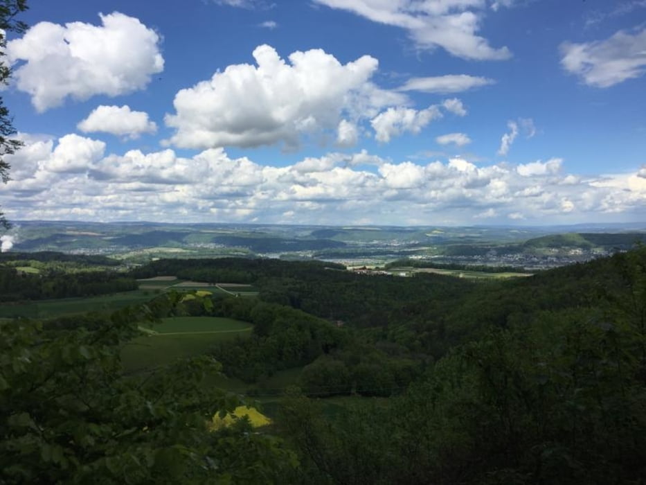
You should be an experienced mountain biker. Don't ride the trails when it's wet as it feels like riding on soap.
Lots of jumps and roots, narrow trees and branches. Take protection and pre-cautions.
galéria trás
Mapa trasy a výškový profil
Minimum height 318 m
Maximum height 698 m
komentáre
GPS trasy
Trackpoints-
GPX / Garmin Map Source (gpx) download
-
TCX / Garmin Training Center® (tcx) download
-
CRS / Garmin Training Center® (crs) download
-
Google Earth (kml) download
-
G7ToWin (g7t) download
-
TTQV (trk) download
-
Overlay (ovl) download
-
Fugawi (txt) download
-
Kompass (DAV) Track (tk) download
-
list trasy (pdf) download
-
Original file of the author (gpx) download
Add to my favorites
Remove from my favorites
Edit tags
Open track
My score
Rate


Tolle Tour