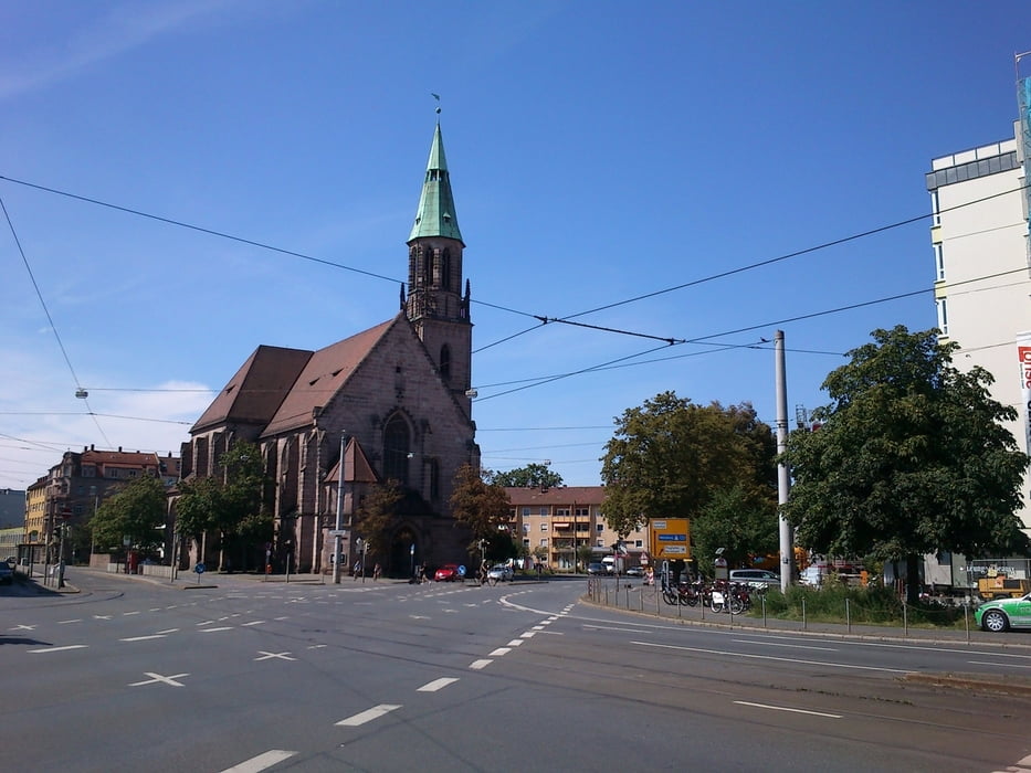
Tour durch den nürnberger Südosten mit möglichst viel Grünanteil und Sehenswürdigkeiten.
- Peterskirche
- Petersfriedhof
- Zeltner Schloss (Wasserschloss)
- Goldbach - Wasserfall
- Kleingartenanlagen
- TC Goldbach
- Goldbach (vor der Bahnunterführung kann man rechts direkt zum Bach gehen)
- Aussiger Platz
- Zerzabelshof
- Valzner Weiher
- FC Nürnbeg - Trainingsgelände
- S-Bahnhof Dutzenteich
- Wanner
- Dutzenteich
- Dokumentationszentrum Reichsparteitagsgelnde
- Kongresshalle
- Volksfestplatz
- Luitpldhain
- Meistersingerhalle
- Bundesagentur für Arbeit
- Peterskirche
Um das Leibliche Wohl auf dieser Tour braucht sich niemand sorgen zu machen. Es liegen quasi unendlich viele gastronomische Einrichtungen auf dem Weg.
galéria trás
Mapa trasy a výškový profil
Minimum height 310 m
Maximum height 331 m
komentáre

GPS trasy
Trackpoints-
GPX / Garmin Map Source (gpx) download
-
TCX / Garmin Training Center® (tcx) download
-
CRS / Garmin Training Center® (crs) download
-
Google Earth (kml) download
-
G7ToWin (g7t) download
-
TTQV (trk) download
-
Overlay (ovl) download
-
Fugawi (txt) download
-
Kompass (DAV) Track (tk) download
-
list trasy (pdf) download
-
Original file of the author (gpx) download
Add to my favorites
Remove from my favorites
Edit tags
Open track
My score
Rate


