
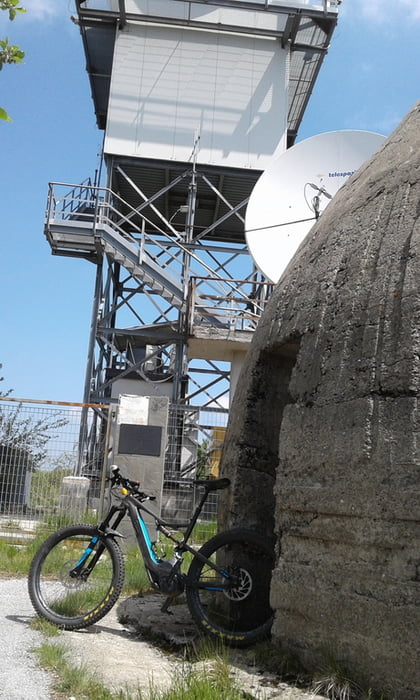

vom Camping Tahit nach Final Borgo und auf der Teerstrasse nach Calice Ligure und weiter auf Teer bis nach Cairano (ca. 13 km). Weiter auf Fahrweg zum Restaurant Din. Stück auf Strasse Richtung Nato Base und dann links ab auf Weg mit groben Schotter hinauf zum Mt. Settepani. Kurzes Stück zum Horchposten auf Asphalt und dann super Waldtrail (S1) Manchmal recht steil. Man kommt auf Fahrweg raus und gegenüber geht es in den nächsten Trail (Lehmboden). Man kommt auf der Strasse raus und kurbelt wiedr hoch zum Din. Hier in den Trail Ale Ale, der dann in den Rollercoaster abzweigt. Schönes auf und ab - alles gut fahrbar S0 - S1. Man kommt kurz vor Gorra raus und fährt dann links ab Richtung Calice Ligure und in einer Kurve gehts auf einen Fahrweg, der in einen S0 Trail mündet. Kommt kurz vor Calice raus. Auf der Strasse zurück zum Camping.
galéria trás


Mapa trasy a výškový profil
Minimum height 6 m
Maximum height 1371 m
More about the tour author
|
|
Fruehaufsteher |
komentáre

GPS trasy
Trackpoints-
GPX / Garmin Map Source (gpx) download
-
TCX / Garmin Training Center® (tcx) download
-
CRS / Garmin Training Center® (crs) download
-
Google Earth (kml) download
-
G7ToWin (g7t) download
-
TTQV (trk) download
-
Overlay (ovl) download
-
Fugawi (txt) download
-
Kompass (DAV) Track (tk) download
-
list trasy (pdf) download
-
Original file of the author (gpx) download
More about the tour author
|
|
Fruehaufsteher |
Add to my favorites
Remove from my favorites
Edit tags
Open track
My score
Rate