


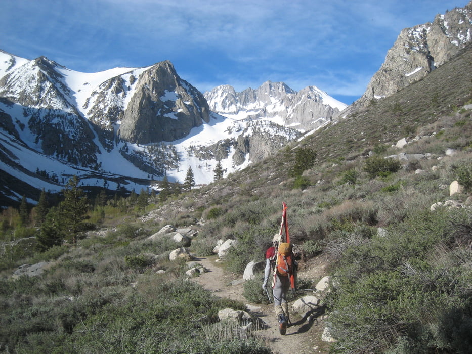
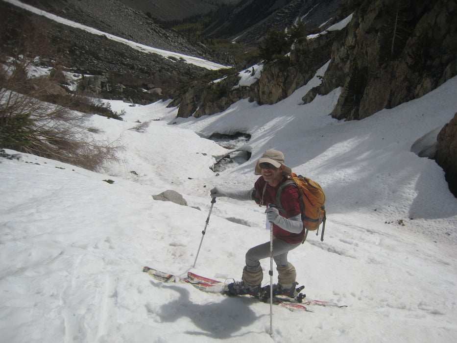
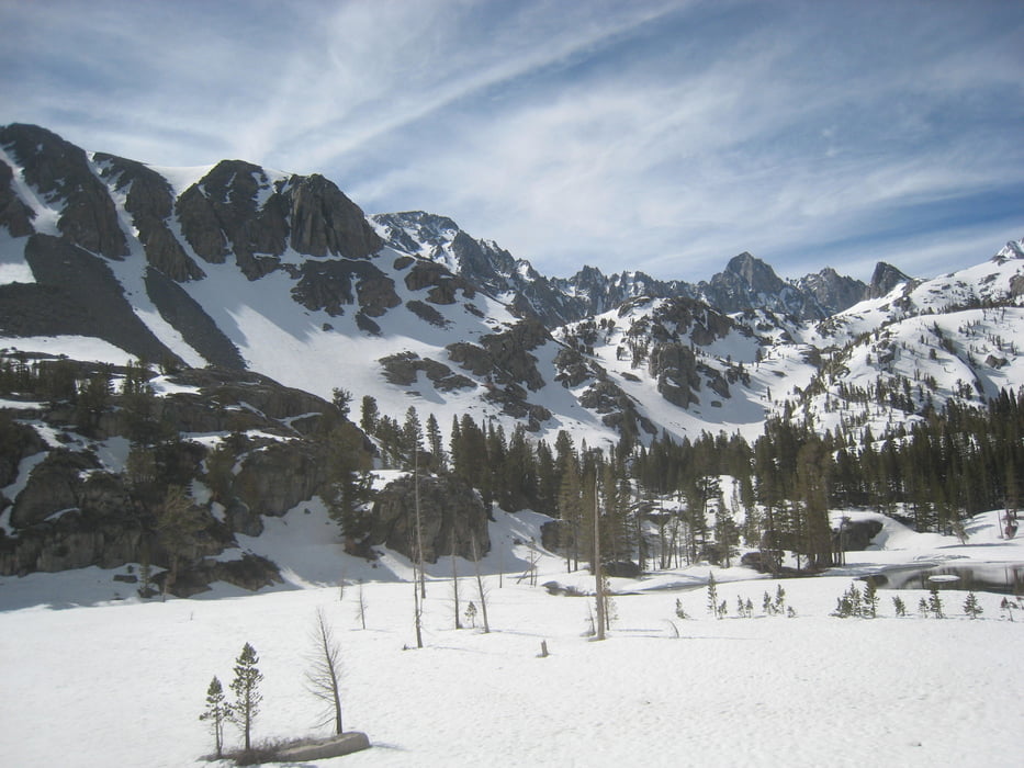
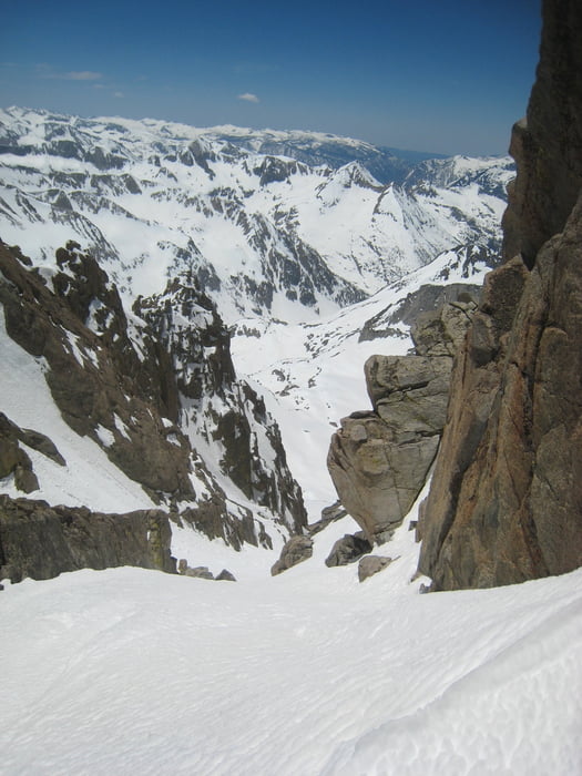
Vom Parkplatz dem Wanderweg entlang dem South Fork big pine creek folgen. Am Talende gibt es 3 Möglichkeiten: Die Steilstufe halblinks überwinden ( wie der Wanderweg, morgens u.U. hart), dem Bach folgen (nur bei sehr viel Schnee möglich) oder rechts vom Bach die Schneeflanke empor und weiter oben wieder zum Bach hineinqueren. Rechts am See vorbei und dann ins linke Tal abzweigen. Durchs Tal empor und leicht links haltend zur offenisichtlichen Rinne aufsteigen. Durch die Rinne zur Scharte (ca. 40°). Gipfelanstieg würde anspruchsvollere Kletterei erfordern. Abfahrt wie Aufstieg oder besser, so wie wir: rechts vom See auf eine kleine Schulter aufsteigen und wie der Sommerweg, im Mittelteil rechts haltend hinab zum Bach und dem Weg zurück zum Parkplatz folgen.
galéria trás
Mapa trasy a výškový profil
Minimum height 2387 m
Maximum height 3760 m

komentáre

Von der Rt 395 in Big Pine auf die glacier losge road abbiegen. Die Straße empor bis zum Ende. Hier nicht über den Bach zur lodge sondern rechts am Ende der Straße parken.
GPS trasy
Trackpoints-
GPX / Garmin Map Source (gpx) download
-
TCX / Garmin Training Center® (tcx) download
-
CRS / Garmin Training Center® (crs) download
-
Google Earth (kml) download
-
G7ToWin (g7t) download
-
TTQV (trk) download
-
Overlay (ovl) download
-
Fugawi (txt) download
-
Kompass (DAV) Track (tk) download
-
list trasy (pdf) download
-
Original file of the author (gpx) download
Add to my favorites
Remove from my favorites
Edit tags
Open track
My score
Rate