
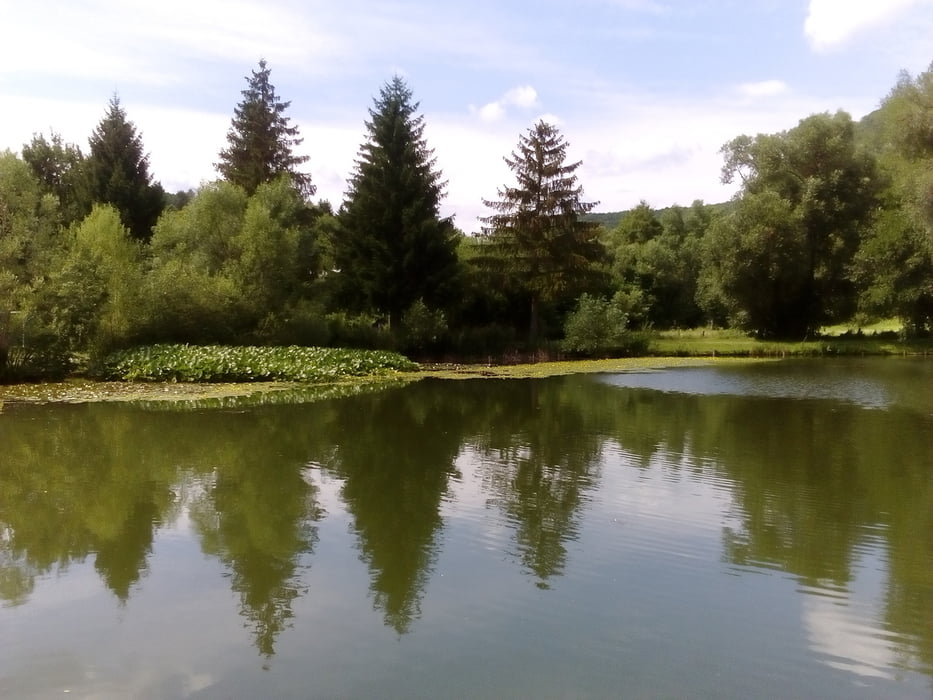

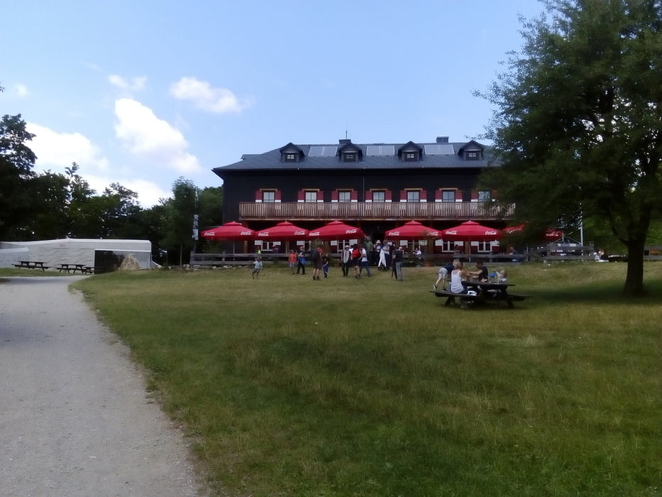
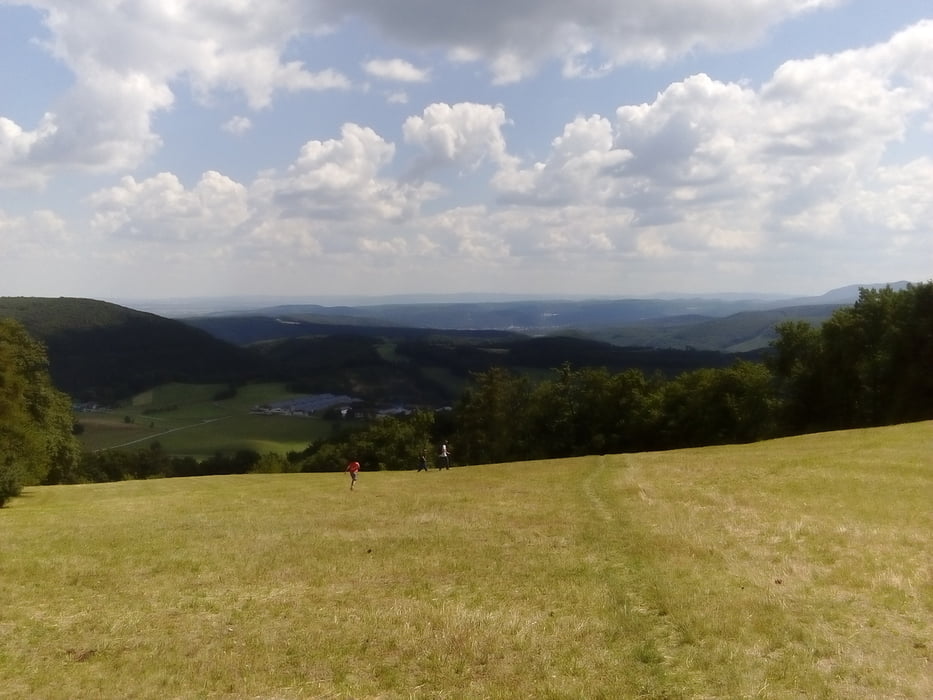
Von Mayerling nach Weißenbach an der Triesting. Anfangs Asphalt auf Nebenstraßen, nach Maria Raisenmarkt beginnt der teils steile Aufstieg durch den kühlen Wald vorbei an der Ruine Arnstein (Klettergarten). Im Peilsteinhaus sind wir eingekehrt. Der Abstieg nach Weißenbach ist sehr angenehm durch Wald und Wiesen. Zuletzt noch ein wenig Asphalt.
galéria trás
Mapa trasy a výškový profil
Minimum height 317 m
Maximum height 723 m
More about the tour author
|
|
mitter |
komentáre

Von Wien mit dem Zug bis Mödling und dann mit dem Bus nach Mayerling in ca 1 Stunde. Retour von Weißenbach mit dem Zug, 1x umsteigen in Leobersdorf. Die Abfahrtszeiten von Weißenbach sollte man sich vorher heraussuchen, wir haben eine Stunde gewartet und da gibts am Nachmittag keine Einkehrmöglichkeit.
GPS trasy
Trackpoints-
GPX / Garmin Map Source (gpx) download
-
TCX / Garmin Training Center® (tcx) download
-
CRS / Garmin Training Center® (crs) download
-
Google Earth (kml) download
-
G7ToWin (g7t) download
-
TTQV (trk) download
-
Overlay (ovl) download
-
Fugawi (txt) download
-
Kompass (DAV) Track (tk) download
-
list trasy (pdf) download
-
Original file of the author (gpx) download
More about the tour author
|
|
mitter |
Add to my favorites
Remove from my favorites
Edit tags
Open track
My score
Rate