Login

Zabudli ste prihlasovacia meno

Cookies have to be accepted!
Your browser's cookie functionality is disabled. Please enable this functionality.

Not a member yet?

Register now
Login

Available for registred users only

Log in to use this feature.

Zabudli ste prihlasovacia meno

Cookies have to be accepted!
Your browser's cookie functionality is disabled. Please enable this functionality.

Not a member yet?

Register now
Filter
Kategórie
Advanced filters
  • Dĺžka (km)
  • výškomer
Uložiť filter Reset filter

TrackRank

QRCode

Technical data

Dĺžka54,4 km výškomer1418 m Way down1282 m Doba03:00 h:m dátum21.07.2017
ohodnotenia Author Kraj pôžitok z túry kondícia technika

štatistika

192 náhľady ohodnotenia 18 Stiahnutia priemer
Rate
  • list trasy
  • príjazd
  • Stiahnutia
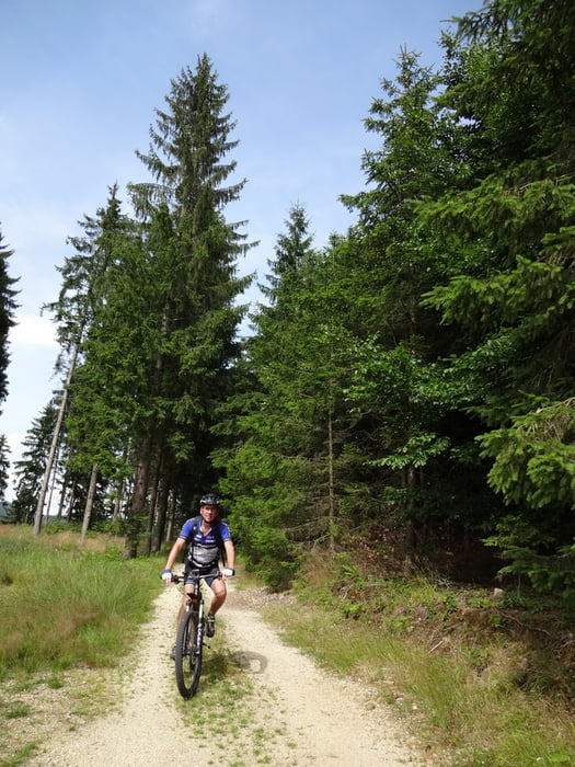
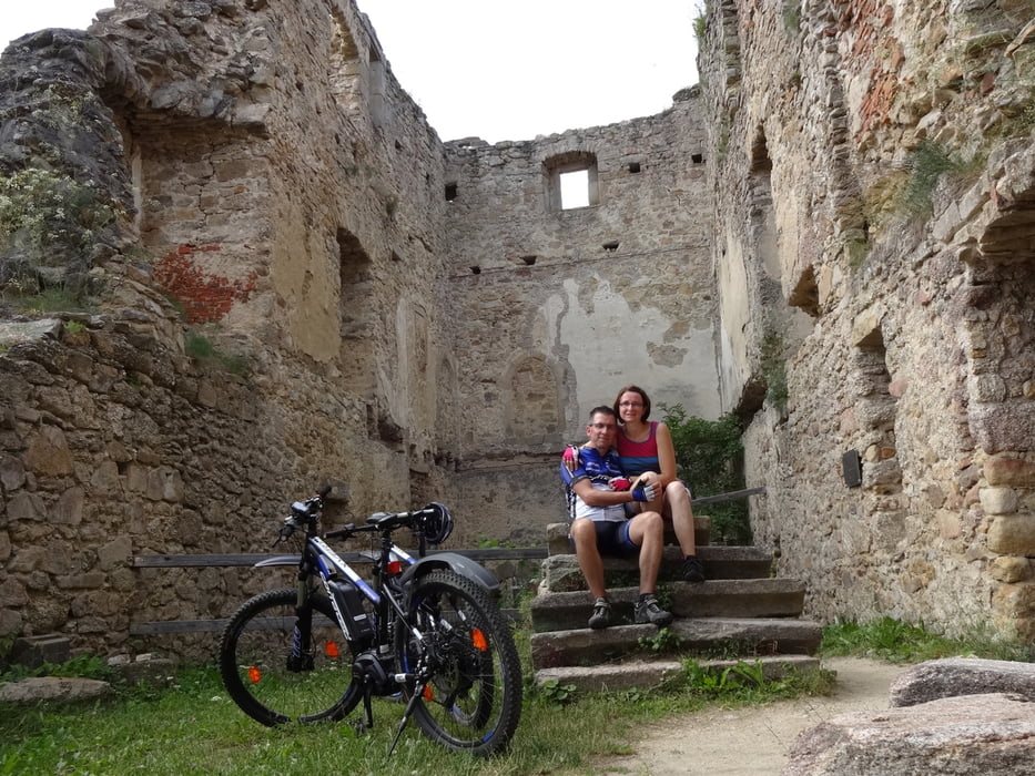
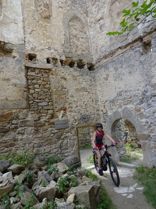
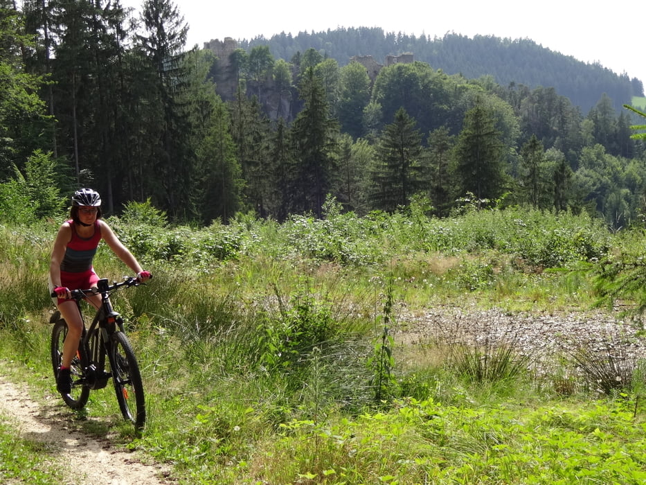
Nach Markersdorf über den Braunberg. Dort Birgit erwartet und mit ihr zur Burgruine Prandegg. Bezaubernd!

galéria trás

Mapa trasy a výškový profil

  • Open Street Map
  • Google
Minimum height 537 m Maximum height 955 m Detailný pohľad

More about the tour author

rjkas
Member since 2003

Send private message

komentáre

GPS trasy

Trackpoints
  • GPX / Garmin Map Source (gpx) download
  • TCX / Garmin Training Center® (tcx) download
  • CRS / Garmin Training Center® (crs) download
  • Google Earth (kml) download
  • G7ToWin (g7t) download
  • TTQV (trk) download
  • Overlay (ovl) download
  • Fugawi (txt) download
  • Kompass (DAV) Track (tk) download
  • list trasy (pdf) download
  • Original file of the author (tcx) download

More about the tour author

rjkas
Member since 2003

Send private message
Share track
Add to my favorites
Remove from my favorites
Edit tags
My score
Rate
trasa: FR - Markersdorf - Ruine Prandegg > e-mtb
Druh: horský bicykel
Dĺžka: 54,4 km
Evaluated on:
Doba:
Day(s)
Hour(s)
Minute(s)
ohodnotenie: Kraj pôžitok z túry kondícia technika