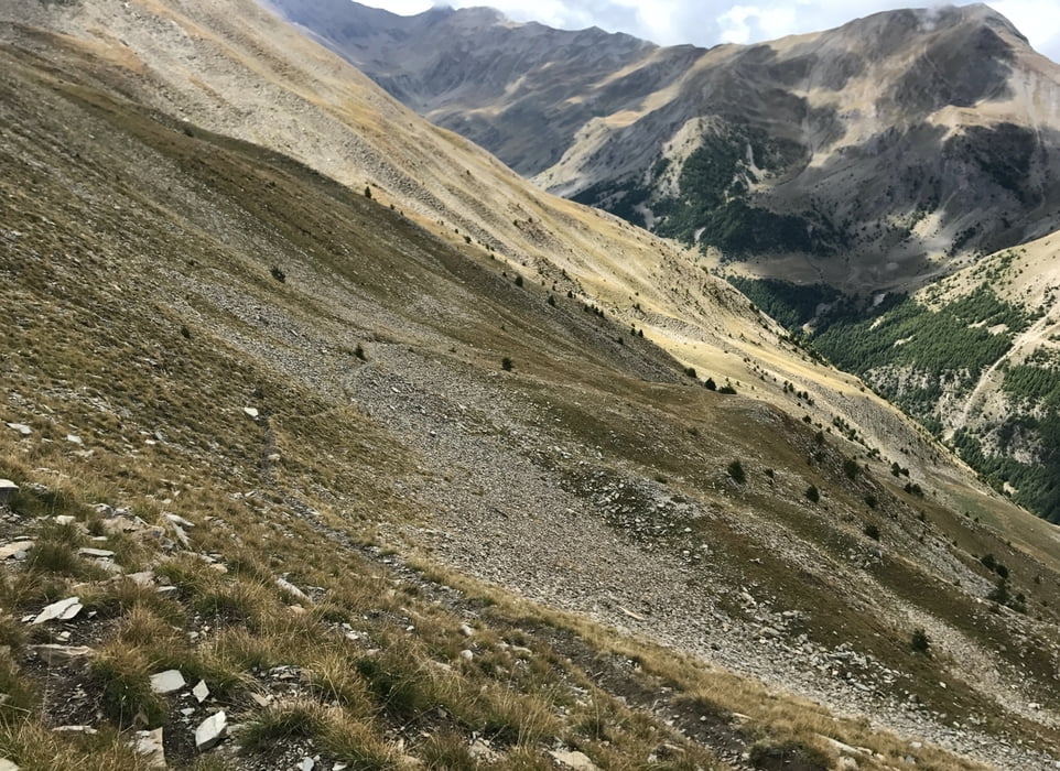
Tour zum Parpaillon - Tunnel und 3 weiteren Pässen.
Sehr anstrengend, vor allem sind da ca. 3x300 Höhenmeter zu tragen!!!
UND: Nicht da starten, wo ich gestartet bin, sondern nach St. Anne fahren, also in einer Kehre vorher rechts rein!!!
DAS IST EINE SUPERTOUR!!! Eine der schönsten, die ich gefahren bin.
Further information at
https://randypanguitch.wordpress.com/randy-panguitch-startseite/mtb-touren/tagestouren/tagestouren_frankreich/2017_09_parpaillon/galéria trás
Mapa trasy a výškový profil
Minimum height 1800 m
Maximum height 2825 m
komentáre

GPS trasy
Trackpoints-
GPX / Garmin Map Source (gpx) download
-
TCX / Garmin Training Center® (tcx) download
-
CRS / Garmin Training Center® (crs) download
-
Google Earth (kml) download
-
G7ToWin (g7t) download
-
TTQV (trk) download
-
Overlay (ovl) download
-
Fugawi (txt) download
-
Kompass (DAV) Track (tk) download
-
list trasy (pdf) download
-
Original file of the author (gpx) download
Add to my favorites
Remove from my favorites
Edit tags
Open track
My score
Rate


