Wegeverlauf:
Langerwehe Bf. mit Touristik-Info – Schönthal – Laufenburg – Franzosenkreuz – WP Drei Eichen – WP Rennweg – Großhau.
Wegebeschreibung:
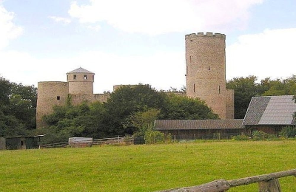
Der Wald-Wasser-Wildnis-Weg (HWW 5) beginnt am Bahnhof Langerwehe, führt südwärts an der romanischen Kirche auf dem Rymelsberg vorbei und zwischen Friedhof und Sportplatz abwärts zum Wehebach. Über diesen hinweg und längs der Schönthaler Straße bis Schönthal, hier halb links durch Wald zum Sührbachtal, dieses aufwärts und steil hoch zur Ruine Laufenburg (3,9 km, Gasthaus) Mit einem Bogen kurz westlich, dann talaufwärts am Rotenbruchbach entlang zum >Franzosenkreuz< (Anno 1679 wurde hier ein franz. Offizier ermordet und begraben). Die Bachseite wechseln, in Gehrichtung aufwärts, an einer Wegegabel in südl. Richtung zu einer Wegespinne, hier links und weiter ansteigend zu den Wanderparkplätzen >Drei Eichen< und später >Rennweg< (8,2 km). An der Schutzhütte den Rennweg bald verlassen und auf dem Hangweg - im Hürtgenwald und oberhalb eines Armes der >Wehebachtalsperre< - ins >Thönbachtal<. Das Thönbachtal aufwärts und weiter ansteigend, an der Schutzhütte vorbei, nach Großhau (14,1 km). *
- Text und Wegführung im Original übernommen von "Eifelpfadfinder" Autor: Hans-Eberhard Peters
Siehe auch: der-eifelyeti
Further information at
http://der-eifelyeti.de/2017/08/14/langerwehe-grosshau/Mapa trasy a výškový profil
komentáre

GPS trasy
Trackpoints-
GPX / Garmin Map Source (gpx) download
-
TCX / Garmin Training Center® (tcx) download
-
CRS / Garmin Training Center® (crs) download
-
Google Earth (kml) download
-
G7ToWin (g7t) download
-
TTQV (trk) download
-
Overlay (ovl) download
-
Fugawi (txt) download
-
Kompass (DAV) Track (tk) download
-
list trasy (pdf) download
-
Original file of the author (gpx) download


