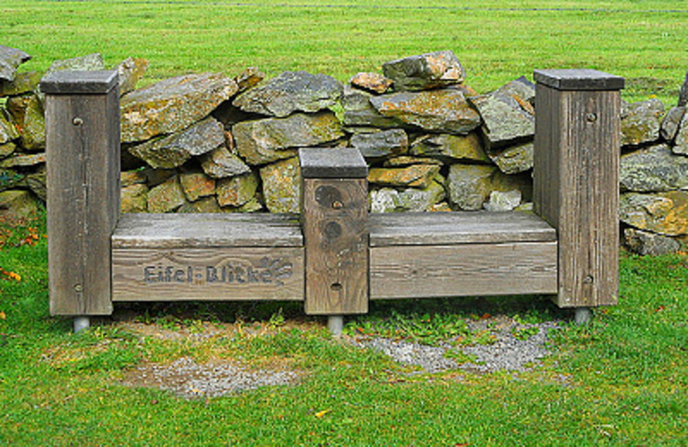
Wasser, Fels und zahllose Hochebenen 

Diese Etappe verspricht eine interessante, abwechslungsreiche Wandertour durch den Nationalpark Eifel: Sie verläuft auf schönen Felswegen um die Stauseen, Ober- und Urftsee, steigt dann hinauf auf die „Dreiborner Hochfläche“ mit tollem Blick auf die umliegende Hügellandschaft, um schließlich durch schmale Täler und auf einsamen Pfaden ins Tal der Urft und zum Etappenziel Gemünd zu gelangen.
Siehe auch: der-eifelyeti
Further information at
http://der-eifelyeti.de/2017/02/10/eifelsteig-4-etappe-einruhr-gemuend/Mapa trasy a výškový profil
Minimum height 283 m
Maximum height 520 m
komentáre

GPS trasy
Trackpoints-
GPX / Garmin Map Source (gpx) download
-
TCX / Garmin Training Center® (tcx) download
-
CRS / Garmin Training Center® (crs) download
-
Google Earth (kml) download
-
G7ToWin (g7t) download
-
TTQV (trk) download
-
Overlay (ovl) download
-
Fugawi (txt) download
-
Kompass (DAV) Track (tk) download
-
list trasy (pdf) download
-
Original file of the author (gpx) download
Add to my favorites
Remove from my favorites
Edit tags
Open track
My score
Rate

