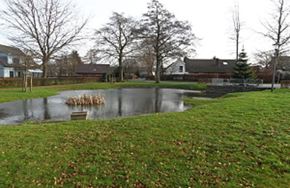
 Huppenbroich ist ein idyllischer Ort. Weit genug entfernt von den großen Durchgangsstraßen sind er und seine Umgebung ideal für Menschen, die das beschauliche dörfliche Leben, gepaart mit einer faszinierenden und abwechslungsreichen Landschaft, lieben. Wir folgen bei dem Rundgang ausschließlich dem Wegekennzeichen Nr. 61. Eine umfangreiche Wegbeschreibung zu dieser Tour entnehmen Sie bitte dem beiliegenden Flyer.
Flyer zur Tour: Download
weitere Dorfrundgänge hier : der-eifelyeti
Further information at
http://der-eifelyeti.de/2017/02/20/huppenbroich/Mapa trasy a výškový profil
Minimum height 445 m
Maximum height 544 m
komentáre

GPS trasy
Trackpoints-
GPX / Garmin Map Source (gpx) download
-
TCX / Garmin Training Center® (tcx) download
-
CRS / Garmin Training Center® (crs) download
-
Google Earth (kml) download
-
G7ToWin (g7t) download
-
TTQV (trk) download
-
Overlay (ovl) download
-
Fugawi (txt) download
-
Kompass (DAV) Track (tk) download
-
list trasy (pdf) download
-
Original file of the author (gpx) download
Add to my favorites
Remove from my favorites
Edit tags
Open track
My score
Rate

