

Reine Gehzeit 4 Stunden!
Beginnend an dem Fuße der Jochstrasse geht es am Hirschbach entlang auf schmalem Pfad durch das Tobel nach oben auf den Hirschberg.
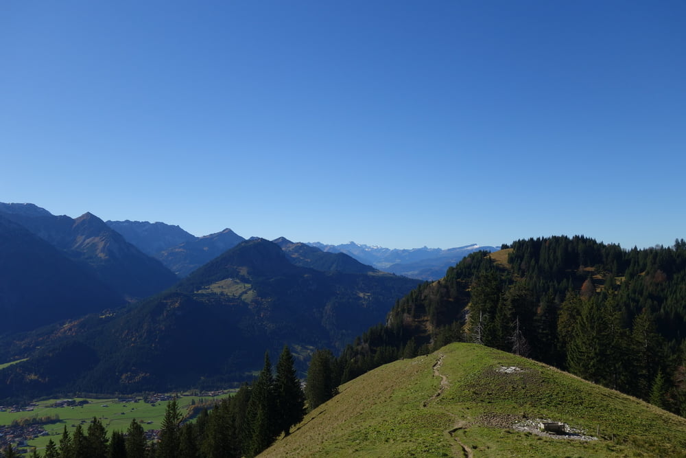
Weiter geht es, nicht mehr ganz so steil auf den zweiten Gipfel, den Spieser.
Oben hat man einen schönen Blick auf die Allgäuer Bergspitzen und bei guter Sicht sehr weit rundum!
Weiter den Kellerwandweg wieder zurück zum Hirschbachtobel .
Einkehrmöglichkeit im Kaffee Polite.
Gute Schuhe und Trittsicherheit sind Pflicht.
Nicht bei nassem Untergrund zu empfehlen.
galéria trás


Mapa trasy a výškový profil
Minimum height 848 m
Maximum height 1633 m
More about the tour author
|
|
urgesimi |
komentáre

GPS trasy
Trackpoints-
GPX / Garmin Map Source (gpx) download
-
TCX / Garmin Training Center® (tcx) download
-
CRS / Garmin Training Center® (crs) download
-
Google Earth (kml) download
-
G7ToWin (g7t) download
-
TTQV (trk) download
-
Overlay (ovl) download
-
Fugawi (txt) download
-
Kompass (DAV) Track (tk) download
-
list trasy (pdf) download
-
Original file of the author (gpx) download
More about the tour author
|
|
urgesimi |
Add to my favorites
Remove from my favorites
Edit tags
Open track
My score
Rate