
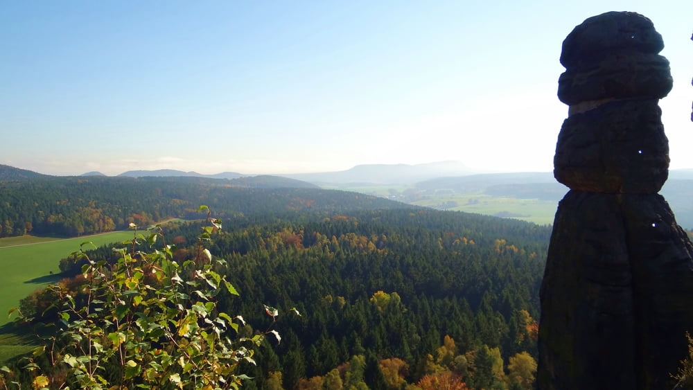

Vom Kurort Gohrisch leitet Sie der Muselweg, der Jagdsteig, der Königsweg und der Alte Schulweg nach Pfaffendorf. Sie steigen durch das enge Nadelöhr und erklimmen einen steilen Aufstieg über Holz- und Eisentreppen, den Pfaffenstein. Vom Pfaffenstein wandern Sie hinab Richtung Quirl. Am Sportplatz Pfaffendorf führt Sie der Malerweg nach Königstein. Sie gehen an der Stadtkirche vorbei und laufen über den Latzweg zum Fuß der Festung Königstein. Für einen Festungsbesuch sollte man 2 Stunden extra einplanen. Auf der alten Festungsstraße und dem Kanonenweg wandern Sie nach Thürmsdorf. Sie durchqueren den Ort, kommen an einem alten Schloss vorbei und wandern am Waldrand entlang bis nach Weißig.
Further information at
http://frankkirst.magix.net/alle-alben/!/oa/7420438/galéria trás

Mapa trasy a výškový profil
Minimum height 99999 m
Maximum height -99999 m
More about the tour author
|
|
kirstf |
komentáre

Anreise z.Bsp. von Königstein mit Bus 244a bis Gohrisch Pfaffendorfer Str.
GPS trasy
Trackpoints-
GPX / Garmin Map Source (gpx) download
-
TCX / Garmin Training Center® (tcx) download
-
CRS / Garmin Training Center® (crs) download
-
Google Earth (kml) download
-
G7ToWin (g7t) download
-
TTQV (trk) download
-
Overlay (ovl) download
-
Fugawi (txt) download
-
Kompass (DAV) Track (tk) download
-
list trasy (pdf) download
-
Original file of the author (tcx) download
More about the tour author
|
|
kirstf |
Add to my favorites
Remove from my favorites
Edit tags
Open track
My score
Rate