Login

Zabudli ste prihlasovacia meno

Cookies have to be accepted!
Your browser's cookie functionality is disabled. Please enable this functionality.

Not a member yet?

Register now
Login

Available for registred users only

Log in to use this feature.

Zabudli ste prihlasovacia meno

Cookies have to be accepted!
Your browser's cookie functionality is disabled. Please enable this functionality.

Not a member yet?

Register now
Filter
Kategórie
Advanced filters
  • Dĺžka (km)
  • výškomer
Uložiť filter Reset filter

TrackRank

QRCode

Technical data

Dĺžka21,7 km výškomer626 m Way down624 m Doba05:40 h:m dátum30.10.2017
ohodnotenia Author Kraj pôžitok z túry kondícia technika

štatistika

816 náhľady ohodnotenia 14 Stiahnutia priemer
Rate
  • list trasy
  • príjazd
  • Stiahnutia
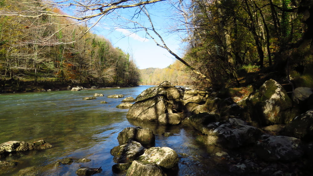
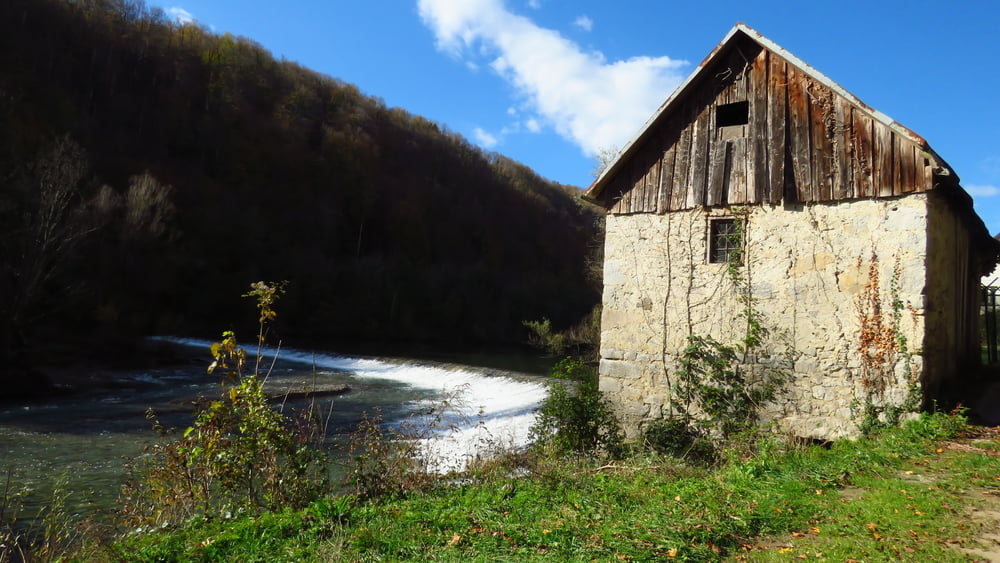
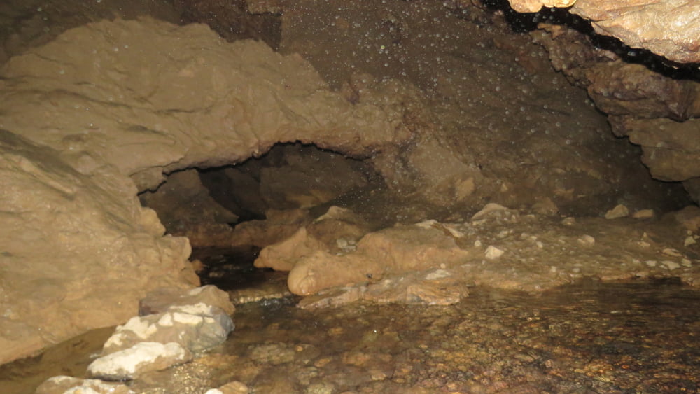
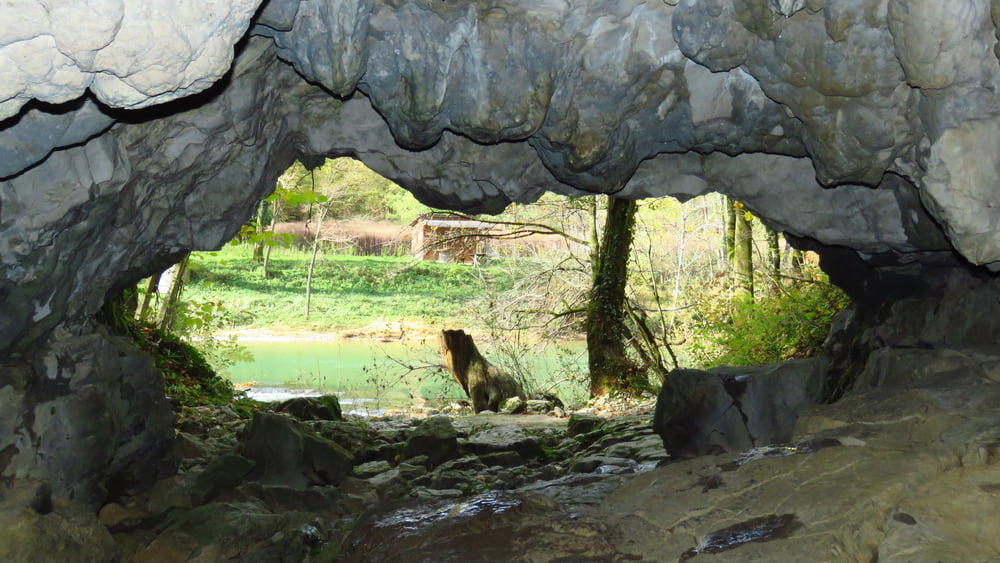
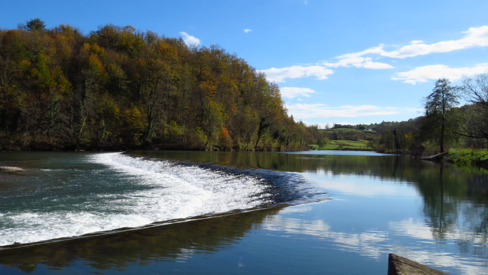
Ravninska pot poteka vseskozi ob Kolpi, zelo dobro označena. Izven raftarske sezone zelo samotna. Tišina! Vmes sva si ogledala začetek jame Kobiljača

galéria trás

Mapa trasy a výškový profil

  • Open Street Map
  • Google
Minimum height 110 m Maximum height 206 m Detailný pohľad

More about the tour author

sandibor
Member since 2017

Send private message

komentáre

GPS trasy

Trackpoints
  • GPX / Garmin Map Source (gpx) download
  • TCX / Garmin Training Center® (tcx) download
  • CRS / Garmin Training Center® (crs) download
  • Google Earth (kml) download
  • G7ToWin (g7t) download
  • TTQV (trk) download
  • Overlay (ovl) download
  • Fugawi (txt) download
  • Kompass (DAV) Track (tk) download
  • list trasy (pdf) download
  • Original file of the author (gpx) download

More about the tour author

sandibor
Member since 2017

Send private message
Share track
Add to my favorites
Remove from my favorites
Edit tags
My score
Rate
trasa: Dolenji Radenci-Damelj-Dolenji Radenci (Najjužnejša slovenska pešpot)
Druh: Sane
Dĺžka: 21,7 km
Evaluated on:
Doba:
Day(s)
Hour(s)
Minute(s)
ohodnotenie: Kraj pôžitok z túry kondícia technika