


Die Tour wird ausführlich hier beschrieben. Ich bin jedoch nicht direkt von Fornalutx aus gestartet sondern vom Picknickplatz Sa Bassa neben der MA-10.
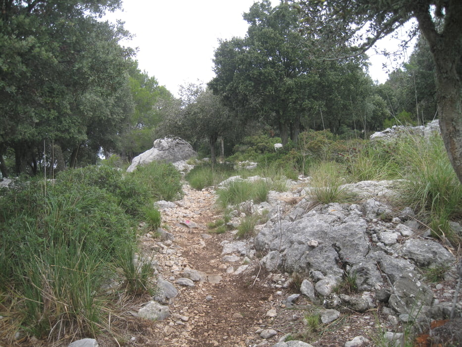
Zuerst ist es eine teilweise steile Schotterstraße die auch an sehr steilen Stellen Betoniert ist. Wenn dieser Weg nach rechts verlassen wird heißt es Aufpassen. Der weitere Weg ist ein stellenweise verwachsener Pfad mit lila Farbmarkierungen. Beim Abzweig gibt es einen weiteren möglichen Pfad der aber nach ca. 15 Minuten nicht mehr weiterführt. Man darf also nicht den ganz rechts führenden Weg nehmen!
Endpunkt des Pfads ist der Gipfel mit einem Feuerwachturm.
galéria trás


Mapa trasy a výškový profil
Minimum height 160 m
Maximum height 810 m
More about the tour author
|
|
JoachimDief |
komentáre

MA-10 von Soller nach Lluc, Picknickplatz Sa Bassa neben der Ma-10 nahe Km 42,2.
GPS trasy
Trackpoints-
GPX / Garmin Map Source (gpx) download
-
TCX / Garmin Training Center® (tcx) download
-
CRS / Garmin Training Center® (crs) download
-
Google Earth (kml) download
-
G7ToWin (g7t) download
-
TTQV (trk) download
-
Overlay (ovl) download
-
Fugawi (txt) download
-
Kompass (DAV) Track (tk) download
-
list trasy (pdf) download
-
Original file of the author (gpx) download
More about the tour author
|
|
JoachimDief |
Add to my favorites
Remove from my favorites
Edit tags
Open track
My score
Rate