Start der Schneeschuhtour am Parkplatz Oberschwarzenberg
Aufstieg über das Steinerne Meer zum Dreiländereck
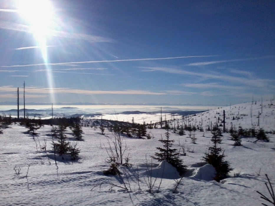
Weiter am Böhmerwaldhauptkamm zum Plöckenstein ... hochste Erhebung im Mühlviertel
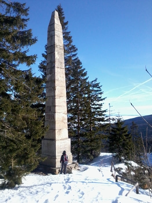
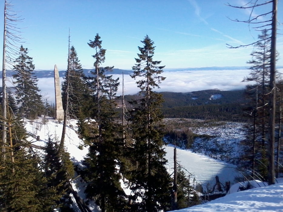
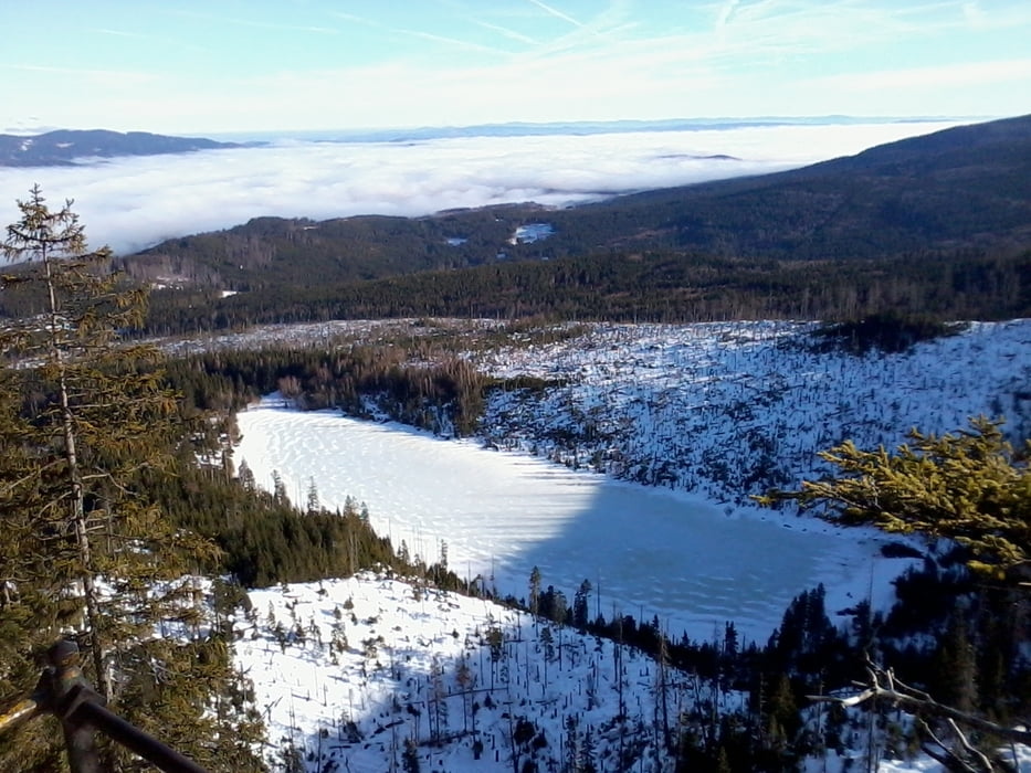
kurzer Abstecher in die CZ zum Adalbert Stifterdenkmal ... der Obelisk überm Plöckensteinersee
vom Plöckenstein querfeldein retour und vorbei an der Teufelsschüssel zum Parkplatz Oberschwarzenberg
galéria trás
Mapa trasy a výškový profil
Minimum height 916 m
Maximum height 1381 m
komentáre

GPS trasy
Trackpoints-
GPX / Garmin Map Source (gpx) download
-
TCX / Garmin Training Center® (tcx) download
-
CRS / Garmin Training Center® (crs) download
-
Google Earth (kml) download
-
G7ToWin (g7t) download
-
TTQV (trk) download
-
Overlay (ovl) download
-
Fugawi (txt) download
-
Kompass (DAV) Track (tk) download
-
list trasy (pdf) download
-
Original file of the author (gpx) download
Add to my favorites
Remove from my favorites
Edit tags
Open track
My score
Rate


