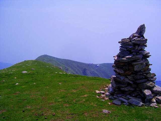
Tour auf Teerstraße von Domaso über Gravedona (neue Strecke), Peglio (Nähe Lirio) zum hochgelegenen Örtchen Bodone. Abfahrt über schmalen Wanderweg nach Peglio, über Straße nach Naro Trimdichpfad und verschiedene Eselwege zurück nach Domaso.
In Bodone geht kann man auf den Gipfel des Mt. Fiorita laufen (siehe Wanderungen), mit dem Rad ist der Aufstieg mühsam, in der Höhe kann man das meiste fahren. Hinunter an die Fahrstraße kann man kaum fahren (also lohnt es sich eher nicht).
At the tourist office (i.g. head quater Domaso) you can buy the excellent map "Alto Lario" 1:35.000 (or ISBN 88-900896-2-8 6,20Euro)
Further information at
http://www.casarina.com/galéria trás
Mapa trasy a výškový profil
komentáre
From Chur coming go direction San Bernardino, at Splügen go right to passo de Splügen and from there to the lago di Como (Lario). Here right direction to Lugano (not Lecco).
GPS trasy
Trackpoints-
GPX / Garmin Map Source (gpx) download
-
TCX / Garmin Training Center® (tcx) download
-
CRS / Garmin Training Center® (crs) download
-
Google Earth (kml) download
-
G7ToWin (g7t) download
-
TTQV (trk) download
-
Overlay (ovl) download
-
Fugawi (txt) download
-
Kompass (DAV) Track (tk) download
-
list trasy (pdf) download
-
Original file of the author (gpx) download


Abfahrt von Naro
Unterkunft
Bei Holidaycheck.deist die Bewertung ja alles andere als berauschend!!!!