
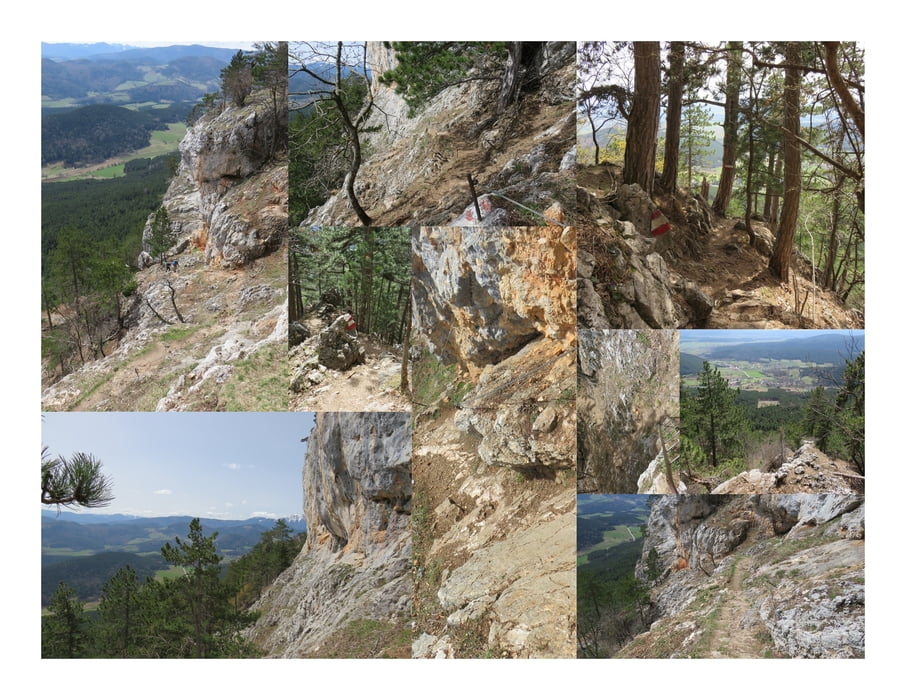

...Für den Abstieg wähle ich den leichten Springlessteig (A). Dieser Wandersteig birgt nur eine Leiter und ist sehr, sehr gut mit Stahlseilen gesichert.
Further information at
http://www.volki.at/cgi-bin/wegtab.pl?B=hw&Z=SMapa trasy a výškový profil
Minimum height 774 m
Maximum height 950 m
More about the tour author
|
|
huberj59 |
komentáre

An den Koordinaten N47 48 09.1 E16 01 35.4 gibt es für einige Autos in Oberhöflein eine Parkmöglichkeit.
Oberhöflein erreicht man über die B26.
Von Wien kommend nimmt man die A1 Süd-Autobahn, bis Abfahrt Wr. Neustadt, dann die B17 bzw. die B26.
GPS trasy
Trackpoints-
GPX / Garmin Map Source (gpx) download
-
TCX / Garmin Training Center® (tcx) download
-
CRS / Garmin Training Center® (crs) download
-
Google Earth (kml) download
-
G7ToWin (g7t) download
-
TTQV (trk) download
-
Overlay (ovl) download
-
Fugawi (txt) download
-
Kompass (DAV) Track (tk) download
-
list trasy (pdf) download
-
Original file of the author (gpx) download
More about the tour author
|
|
huberj59 |
Add to my favorites
Remove from my favorites
Edit tags
Open track
My score
Rate