Login

Zabudli ste prihlasovacia meno

Cookies have to be accepted!
Your browser's cookie functionality is disabled. Please enable this functionality.

Not a member yet?

Register now
Login

Available for registred users only

Log in to use this feature.

Zabudli ste prihlasovacia meno

Cookies have to be accepted!
Your browser's cookie functionality is disabled. Please enable this functionality.

Not a member yet?

Register now
Filter
Kategórie
Advanced filters
  • Dĺžka (km)
  • výškomer
Uložiť filter Reset filter

TrackRank

QRCode

Technical data

Dĺžka11,7 km výškomer864 m Way down922 m Doba05:05 h:m dátum13.05.2018
ohodnotenia Author Kraj pôžitok z túry kondícia technika

štatistika

272 náhľady ohodnotenia 7 Stiahnutia priemer
Rate
  • list trasy
  • príjazd
  • Stiahnutia
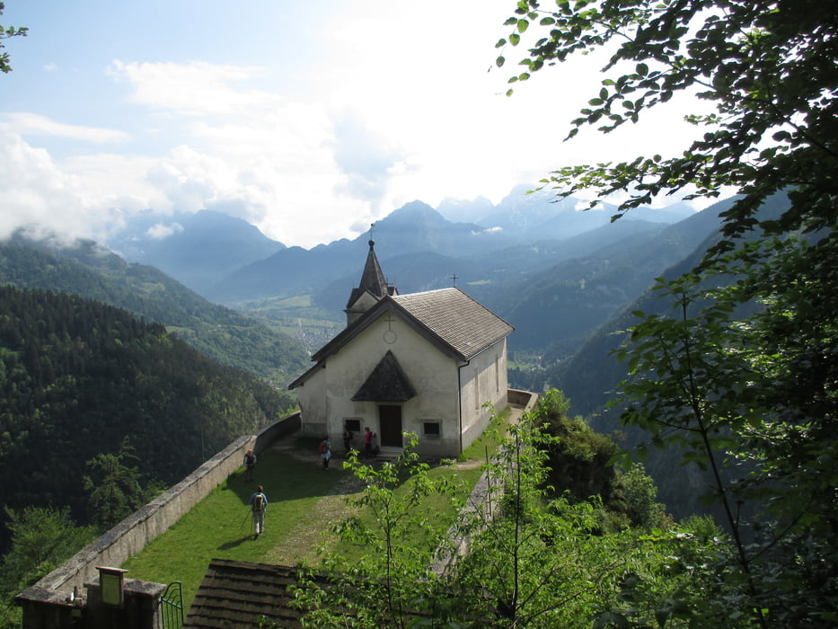
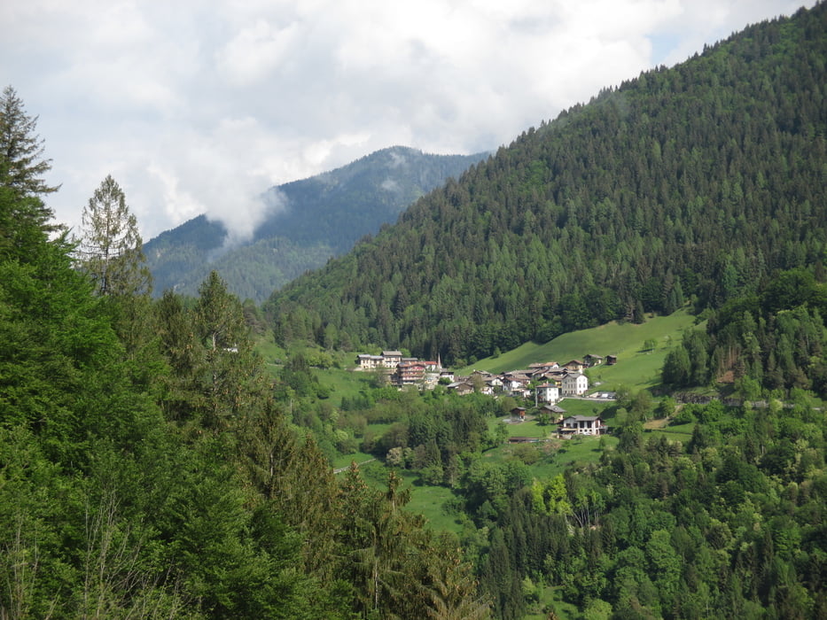
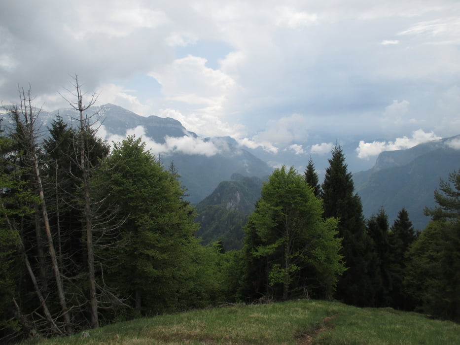
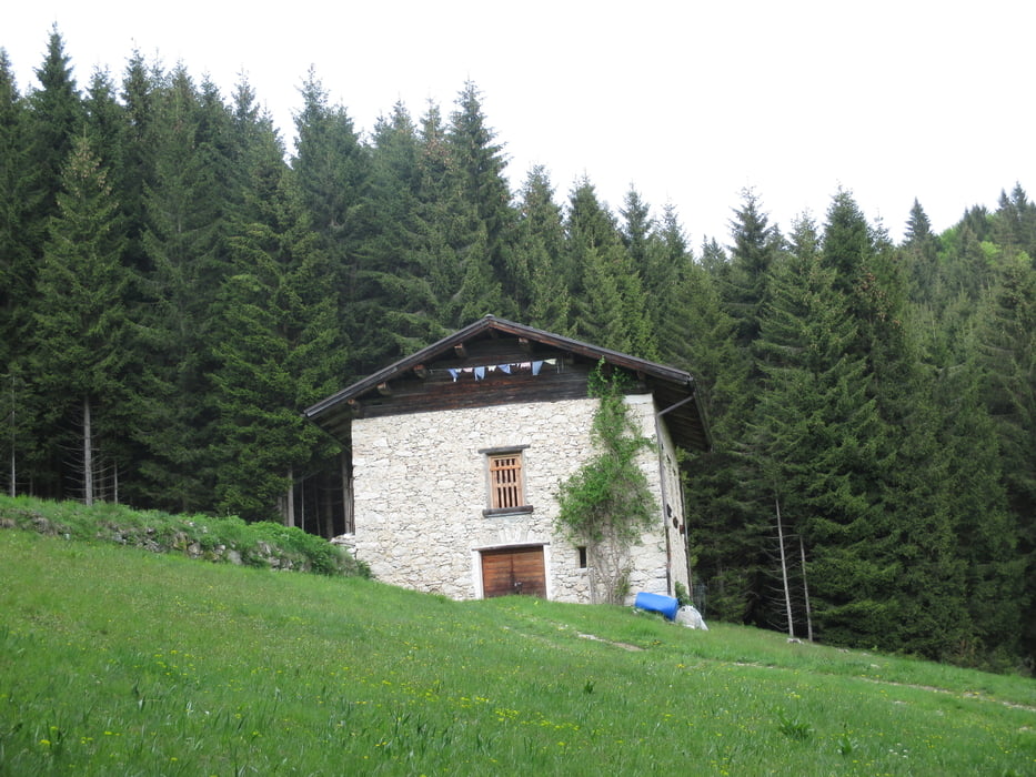
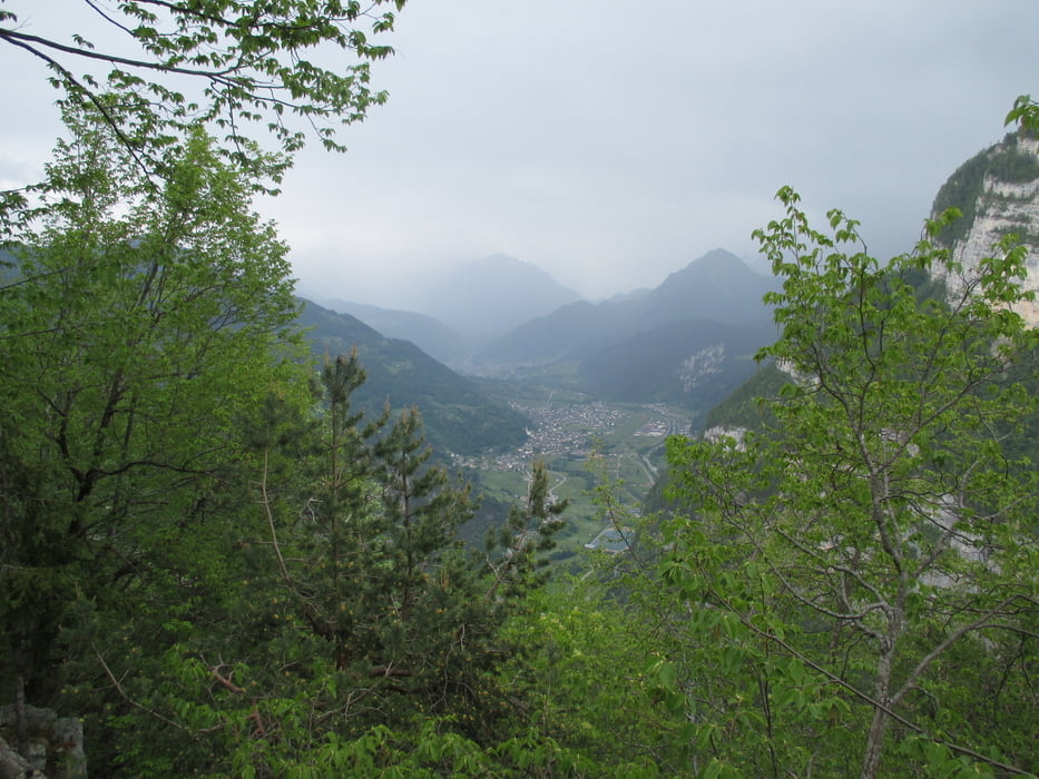
Bella escursione in zona selvaggia del Lagorai. Giornata fresca e asciutta malgrado le nuvole sempre pronte a lasciarsi andare.

Further information at

http://www.trentinograndeguerra.it/context.jsp?area=101&ID_LINK=250&id_context=10017

galéria trás

Mapa trasy a výškový profil

  • Open Street Map
  • Google
Minimum height 929 m Maximum height 1719 m Detailný pohľad

More about the tour author

agosflavio
Member since 2013

Send private message

komentáre

GPS trasy

Trackpoints
  • GPX / Garmin Map Source (gpx) download
  • TCX / Garmin Training Center® (tcx) download
  • CRS / Garmin Training Center® (crs) download
  • Google Earth (kml) download
  • G7ToWin (g7t) download
  • TTQV (trk) download
  • Overlay (ovl) download
  • Fugawi (txt) download
  • Kompass (DAV) Track (tk) download
  • list trasy (pdf) download
  • Original file of the author (gpx) download

More about the tour author

agosflavio
Member since 2013

Send private message
Share track
Add to my favorites
Remove from my favorites
Edit tags
My score
Rate
trasa: Escursione al Monte Totoga Lagorai
Druh: trasa
Dĺžka: 11,7 km
Evaluated on:
Doba:
Day(s)
Hour(s)
Minute(s)
ohodnotenie: Kraj pôžitok z túry kondícia technika