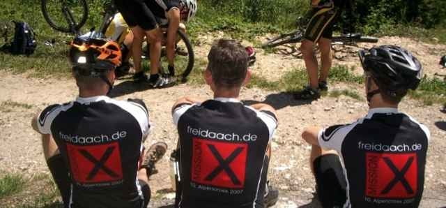
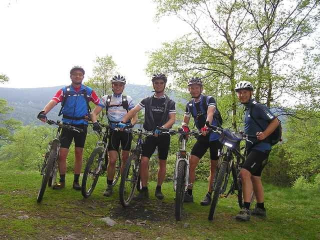
Bad Soden, Ruppertshain, Eichkopf, Glashütten, Alte Glashütte im Wald, Rotes Kreutz, Feldberg, Fuchstanz, Königstein, Bad Soden.
Viele biestige Anstiege.
Weg Königstein bis Bad Soden auf Straße wegen Regens!
Viele biestige Anstiege.
Weg Königstein bis Bad Soden auf Straße wegen Regens!
Further information at
http://www.freidaach.degaléria trás
Mapa trasy a výškový profil
Minimum height 132 m
Maximum height 888 m
komentáre

GPS trasy
Trackpoints-
GPX / Garmin Map Source (gpx) download
-
TCX / Garmin Training Center® (tcx) download
-
CRS / Garmin Training Center® (crs) download
-
Google Earth (kml) download
-
G7ToWin (g7t) download
-
TTQV (trk) download
-
Overlay (ovl) download
-
Fugawi (txt) download
-
Kompass (DAV) Track (tk) download
-
list trasy (pdf) download
-
Original file of the author (gpx) download
Add to my favorites
Remove from my favorites
Edit tags
Open track
My score
Rate


