

Hallo leute wer die tour nachfährt wir seinen spass haben, du solltest sie aber gegen die Uhr fahren glaube mir ist besser so.
So richtig startet die tour von Zerkall aus habe ich bei Komoot geklaut.
Ich fahre von Schmidt aus weil ich hir wohne.
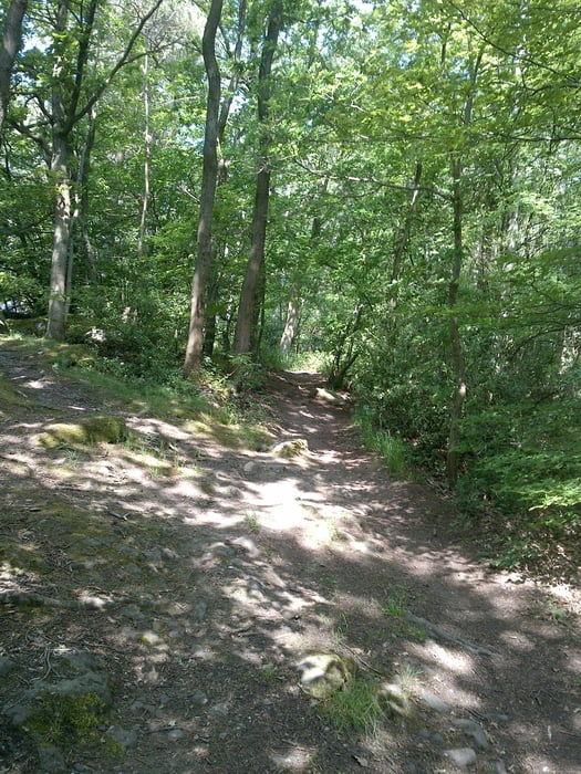
Also von Schmidt : hast du gleich ein paar kleine trails ins Tal runter bis Zerkall,
und da begind die eigendliche tour wo du dich gleich warmfahren kannst den Berg rauf nach Nideggen
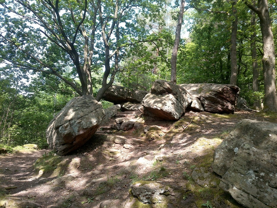
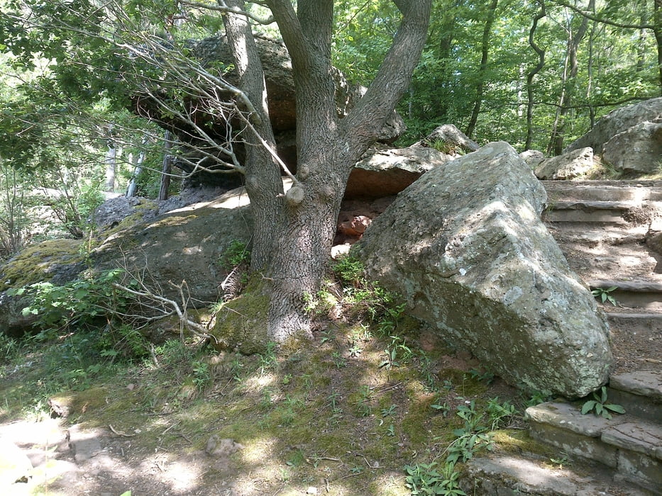
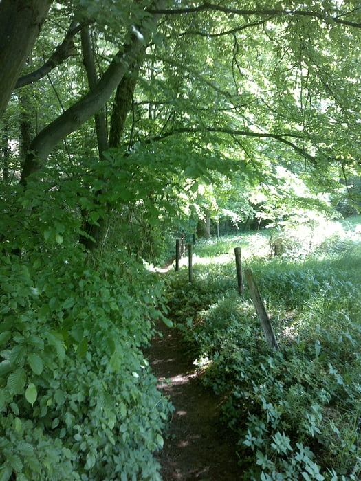
dort fängt dann der spass richtig an mit ein paar verschidene trails bis runter zur Staumauer.
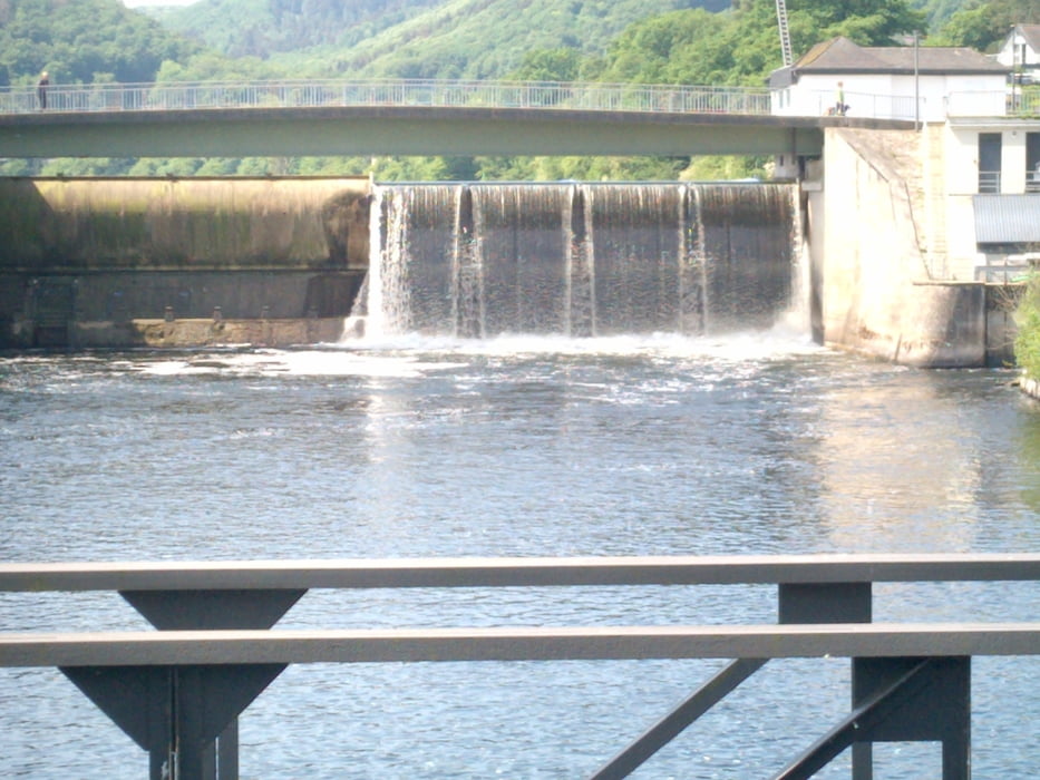
dort geht es weiter richtung Hürtgenwald umgebung. ACHTUNG keine einkehr möglichkeit du bist nur noch im Wald .Bis du Irgendwann wieder in Obermaubach auf der Staumauer bist, dort am Kiosk hast du dann wirklich deine Pause verdind.
Viel Spass
galéria trás
Mapa trasy a výškový profil
Minimum height 157 m
Maximum height 483 m
More about the tour author
|
|
monmann |
komentáre

GPS trasy
Trackpoints-
GPX / Garmin Map Source (gpx) download
-
TCX / Garmin Training Center® (tcx) download
-
CRS / Garmin Training Center® (crs) download
-
Google Earth (kml) download
-
G7ToWin (g7t) download
-
TTQV (trk) download
-
Overlay (ovl) download
-
Fugawi (txt) download
-
Kompass (DAV) Track (tk) download
-
list trasy (pdf) download
-
Original file of the author (gpx) download
More about the tour author
|
|
monmann |
Add to my favorites
Remove from my favorites
Edit tags
Open track
My score
Rate