Login

Zabudli ste prihlasovacia meno

Cookies have to be accepted!
Your browser's cookie functionality is disabled. Please enable this functionality.

Not a member yet?

Register now
Login

Available for registred users only

Log in to use this feature.

Zabudli ste prihlasovacia meno

Cookies have to be accepted!
Your browser's cookie functionality is disabled. Please enable this functionality.

Not a member yet?

Register now
Filter
Kategórie
Advanced filters
  • Dĺžka (km)
  • výškomer
Uložiť filter Reset filter

TrackRank

QRCode

Technical data

Dĺžka56,5 km výškomer372 m Way down278 m Doba03:30 h:m dátum24.05.2018
ohodnotenia Author Kraj pôžitok z túry kondícia technika

štatistika

207 náhľady ohodnotenia 31 Stiahnutia priemer
Rate
  • list trasy
  • príjazd
  • Stiahnutia
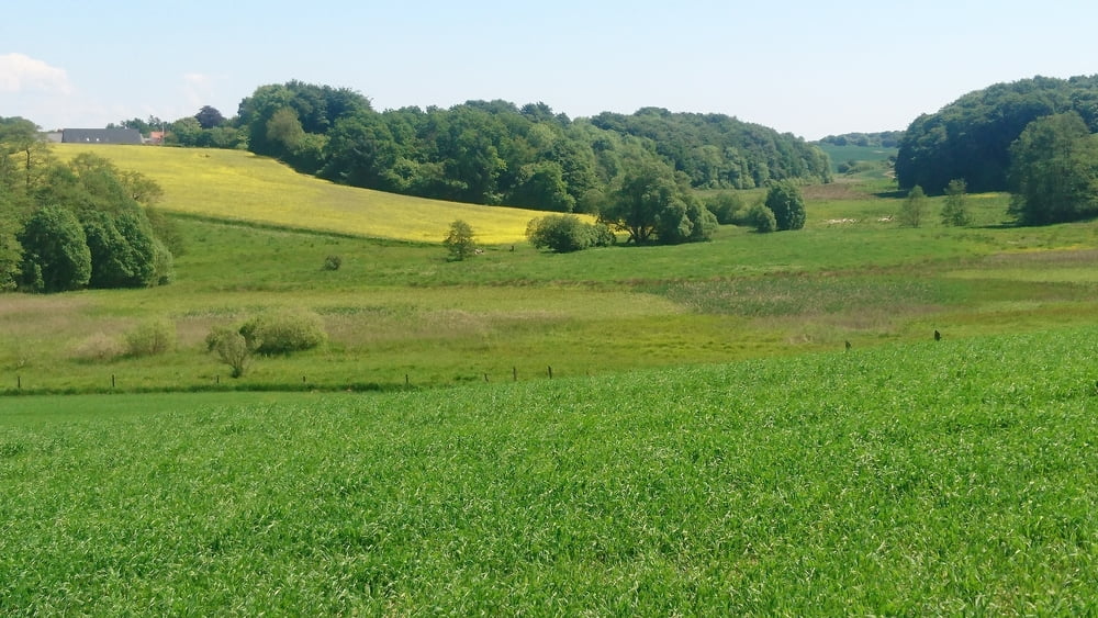
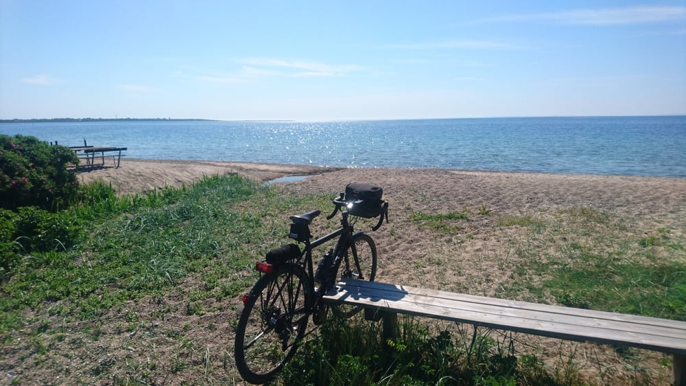
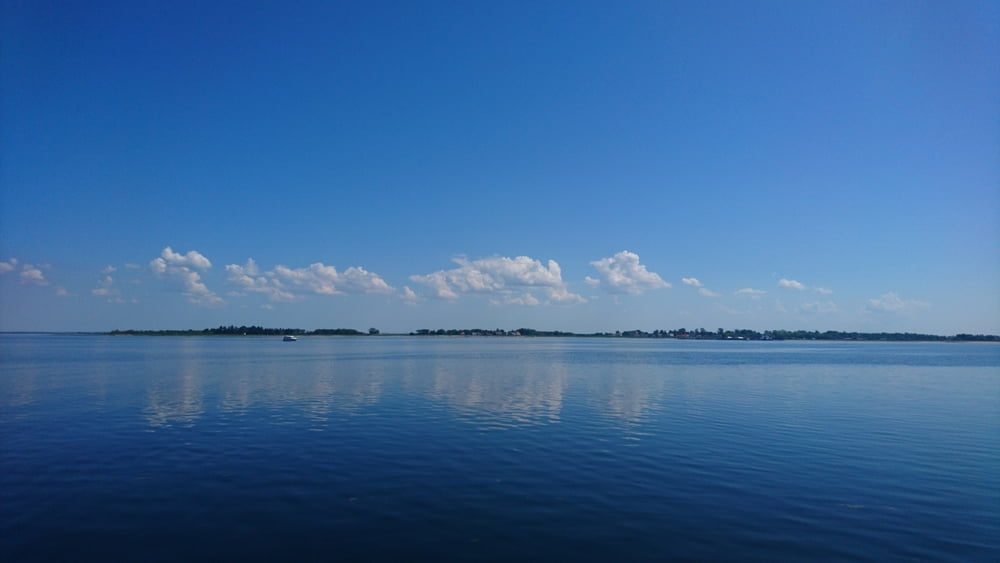
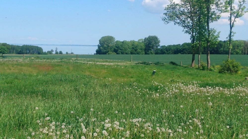
Die Tour beginnt in einem Vorort von Haderslev: STARUP. Dort an der Kirche( Kirkevej) ist auch ein Parkplatz. Die Landschaft ist leicht wellig, an vielen Stellen hat man Blick auf die Ostsee oder den Fjord, zahlreiche Bademöglichkeiten. Zeitweise sind feste Sand-Schotter-Strassen zu befahren, sie sind nicht für Rennräder geeignet. Die kleinen Landwege sind nur wenig befahren, die Tour lebt von der schönen Landschaft und ihrer Ruhe.

galéria trás

Mapa trasy a výškový profil

  • Open Street Map
  • Google
Minimum height -94 m Maximum height 56 m Detailný pohľad

More about the tour author

cce24
Member since 2015

Send private message

komentáre

s.o.

GPS trasy

Trackpoints
  • GPX / Garmin Map Source (gpx) download
  • TCX / Garmin Training Center® (tcx) download
  • CRS / Garmin Training Center® (crs) download
  • Google Earth (kml) download
  • G7ToWin (g7t) download
  • TTQV (trk) download
  • Overlay (ovl) download
  • Fugawi (txt) download
  • Kompass (DAV) Track (tk) download
  • list trasy (pdf) download
  • Original file of the author (gpx) download

More about the tour author

cce24
Member since 2015

Send private message
Share track
Add to my favorites
Remove from my favorites
Edit tags
My score
Rate
trasa: Rundtour Haderslev
Druh: cykloturistika
Dĺžka: 56,5 km
Evaluated on:
Doba:
Day(s)
Hour(s)
Minute(s)
ohodnotenie: Kraj pôžitok z túry kondícia technika