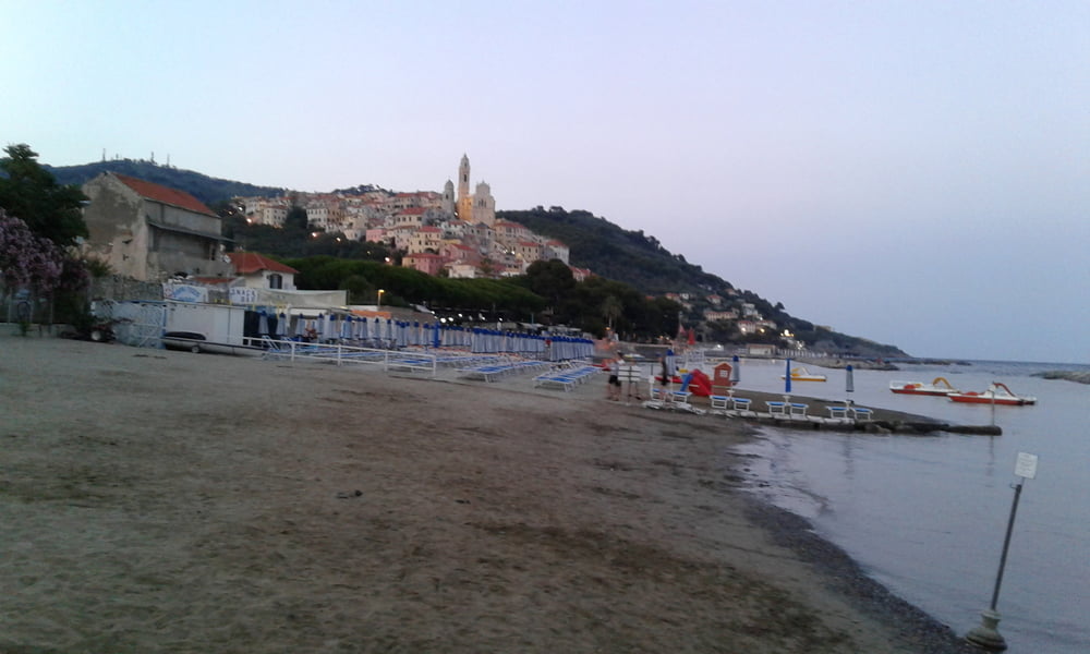
Tour:
Von Cervo geht es zuerst nach Andora. Das Altstätchen von Cervo ist alle mal einen Bsuch wert! In Adora nach dem Fluss Merula rechts.
Auf der Strasse Richtung Testico weiter. Nach etwa 10 Kilometer vor dem Dorf Stellanello zweigt es rechts ab Richtung Canneto.
Durch den schönen Olivenwald, der auch bewirtschaftet wird, geht es mit angenehmer Steigung auf Asphalt bis fast zur SP6 hinauf. Nur die letzten 150 Höhenmeter sind Schotter.
Vorbei am verschlafenen San Damiano auf einer Panoramastrasse, die den Blick nach rechts und links hinunter immer wieder frei gibt bis direkt über Alassio.
Ein kleines Stück nach Moglio hinunter. Bald auf einem knackigen Singeltrail nach Alassio.
Auf der Küstenstrasse zurück nach Cervo.
Gipfel:
Auf der SP6 nicht weit zweigt ein Strässchen in den Wald. Diesem folgen bis es den Grat rechts wieder verlässt. Da ist ein etwas breiteres Plätzchen steinig. Da Bikedepot. Mit ein wenig Suchen links auf dem Weg in etwa 15 oder 20 Minuten unschwer zum höchsten Punkt.
galéria trás
Mapa trasy a výškový profil
komentáre

GPS trasy
Trackpoints-
GPX / Garmin Map Source (gpx) download
-
TCX / Garmin Training Center® (tcx) download
-
CRS / Garmin Training Center® (crs) download
-
Google Earth (kml) download
-
G7ToWin (g7t) download
-
TTQV (trk) download
-
Overlay (ovl) download
-
Fugawi (txt) download
-
Kompass (DAV) Track (tk) download
-
list trasy (pdf) download
-
Original file of the author (gpx) download


