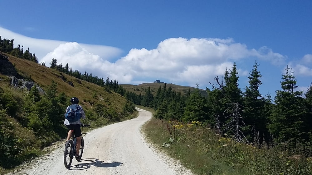
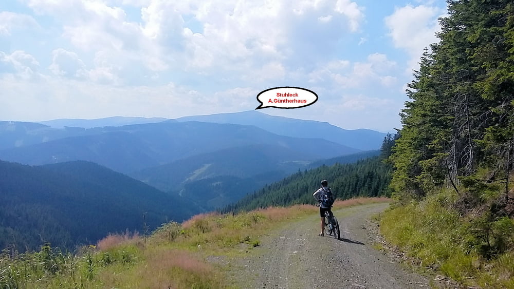
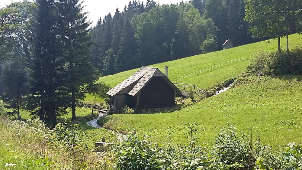
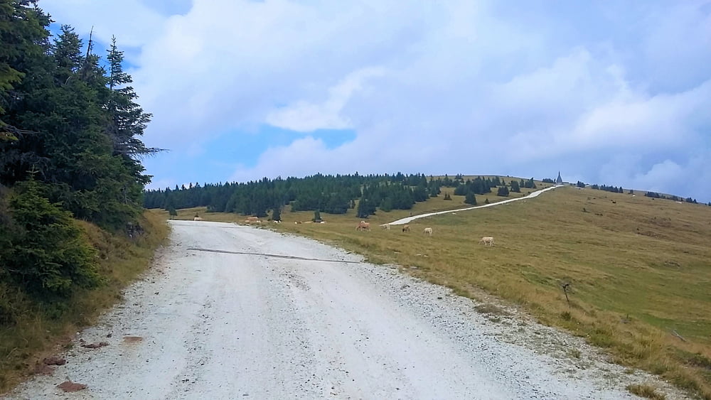
E-MtB Tour: Von Steinhaus bis Passhöhe Pfaffensattel ohne Motorunterstützung, das gleiche auf allen Asphaltstrecken
galéria trás
Mapa trasy a výškový profil
Minimum height 831 m
Maximum height 1738 m
komentáre
GPS trasy
Trackpoints-
GPX / Garmin Map Source (gpx) download
-
TCX / Garmin Training Center® (tcx) download
-
CRS / Garmin Training Center® (crs) download
-
Google Earth (kml) download
-
G7ToWin (g7t) download
-
TTQV (trk) download
-
Overlay (ovl) download
-
Fugawi (txt) download
-
Kompass (DAV) Track (tk) download
-
list trasy (pdf) download
-
Original file of the author (gpx) download
Add to my favorites
Remove from my favorites
Edit tags
Open track
My score
Rate


2022
Auch die Schiebepassagen sind mühsam.
Schade, da ansonsten eine Top Strecke!