
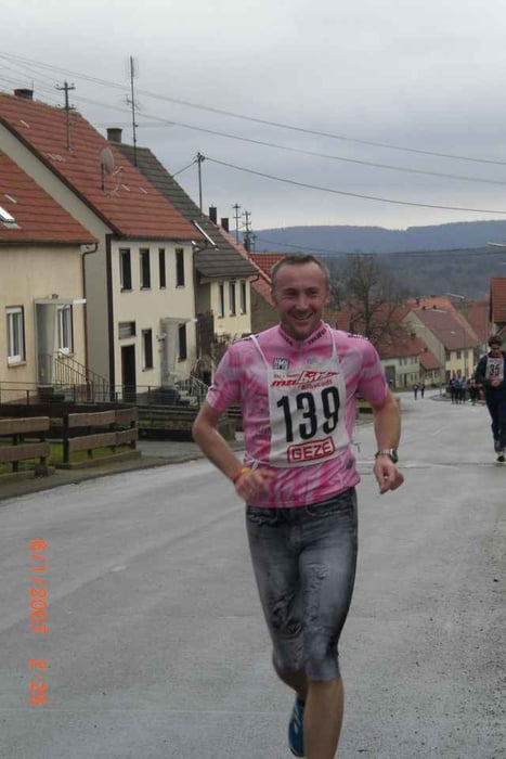

Der aufgezeichnete Lauf ist die original Wettkampf-Streckenführung des gleichnamigen Laufevents, welchen ich am 01.06.2008 absolviert habe. Die Strecke führt durch alle Teilgemeinden Meßstettens und ist insbesondere in der zweiten Streckenhälfte anspruchsvoll. Hier bietet sich an, dass vorab ein Blick in das Höhenprofil gemacht wird. Alles weite findet ihr auch auf der Seite des Veranstalters http://www.tsv-messstetten.de/
Further information at
http://www.gps-tour.info/tours/view.php?action=view&entity=list&next_view=list&search_type=simple&country=&federal=&filter=&form=list&search_words=ewald+hoffmann&submitButtonName=SuchenMapa trasy a výškový profil
Minimum height 749 m
Maximum height 973 m
More about the tour author
|
|
ewald_hoffmann |
komentáre

http://www.tsv-messstetten.de/
GPS trasy
Trackpoints-
GPX / Garmin Map Source (gpx) download
-
TCX / Garmin Training Center® (tcx) download
-
CRS / Garmin Training Center® (crs) download
-
Google Earth (kml) download
-
G7ToWin (g7t) download
-
TTQV (trk) download
-
Overlay (ovl) download
-
Fugawi (txt) download
-
Kompass (DAV) Track (tk) download
-
list trasy (pdf) download
-
Original file of the author (gpx) download
More about the tour author
|
|
ewald_hoffmann |
Add to my favorites
Remove from my favorites
Edit tags
Open track
My score
Rate